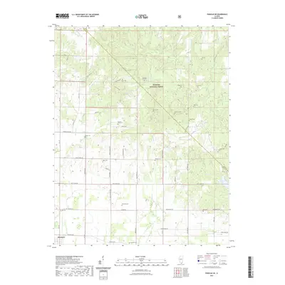
2021 Map of Paducah NE
USGS Topo · Published 2021About this map
Shawnee National Forest dominates the northern reaches of this Massac County landscape, where the rugged terrain is carved by numerous drainages including Barren Cr and Sevenmile Cr. The map reveals a dense network of family and community burial grounds, such as Sycamore Plain Cem and Hodge Cem, which are tucked away near Mill Spring and the winding Riepe Ridge Rd. These sites, along with the Masonic Cem and Vickers Cem further east, provide a localized record of the families who settled this portion of southern Illinois.
Find a feature on this map
64 named features on this map. Tap any name to fly to it.
Don’t see what you’re looking for? This feature index may not catch every label — zoom into the map to look around manually.
Map Details
Editions of this 2021 Paducah NE Map
This is the sole edition of this map. No revisions or reprints were ever made.
Other maps of this area

1916 · Golconda
USGS Topo · 1:62,500

1917 · Brownfield
USGS Topo · 1:62,500

1920 · Goloonda
USGS Topo · 1:48,000

1921 · Golconda
USGS Topo · 1:62,500

1926 · Paducah
USGS Topo · 1:62,500

1929 · Smithland
USGS Topo · 1:62,500

1929 · Paducah
USGS Topo · 1:62,500

1936 · Paducah
USGS Topo · 1:24,000

1936 · Smithland
USGS Topo · 1:48,000

1936 · Little Cypress
USGS Topo · 1:24,000