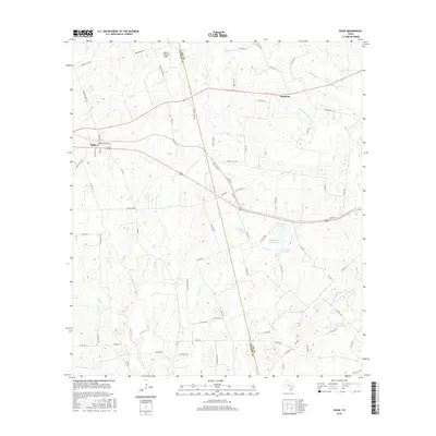
2016 Map of Paige
USGS Topo · Published 2016About this map
The community of Paige sits at the western edge of this landscape, where the street grid of Washington St and Main St meets the highway network. The area is defined by a dense network of seasonal and permanent watercourses, including the curiously named Dead Mans Hole Cr and Schilling Br, which drain toward the larger Rabbs Cr system. To the northeast, the settlement of Manheim marks a transition into more open ranching and agricultural land.
Find a feature on this map
81 named features on this map. Tap any name to fly to it.
Don’t see what you’re looking for? This feature index may not catch every label — zoom into the map to look around manually.
Map Details
Editions of this 2016 Paige Map
This is the sole edition of this map. No revisions or reprints were ever made.
Other maps of this area

1885 · Bastrop
USGS Topo · 1:125,000

1893 · Bastrop
USGS Topo · 1:125,000

1904 · Bastrop
USGS Topo · 1:125,000

1919 · Giddings
USGS Topo · 1:62,500

1919 · Dime Box
USGS Topo · 1:62,500

1948 · Smithville
USGS Topo · 1:62,500

1948 · Lexington
USGS Topo · 1:62,500

1950 · Lexington
USGS Topo · 1:62,500

1950 · Smithville
USGS Topo · 1:62,500

1954 · Austin
USGS Topo · 1:250,000