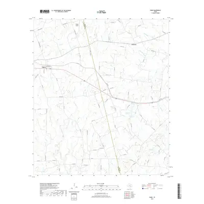
2019 Map of Paige
USGS Topo · Published 2019About this map
The settlement of Paige sits along the western edge of this 2019 survey, marking a transition between the ranching lands and the creek-cut drainages of the Bastrop and Lee county line. To the northeast, Manheim anchors a network of rural routes such as Manheim Rd and Lincoln Lake Rd. The landscape is defined by its water resources, notably the series of reservoirs including Hamff Lake Number 1, Hamff Lake Number 2, and Hamff Lake Number 3, alongside Domaschk-Biar Lake. These features, coupled with the Flying G H Ranch Airport, illustrate the modern agricultural and private infrastructure of this Central Texas corridor. Numerous named tributaries, such as the evocative Dead Mans Hole Cr, Schilling Br, and Rabbs Cr, create a dense hydrological web across the quadrangle, reflecting the intricate natural drainage system essential to the local cattle and ranching heritage.
Find a feature on this map
83 named features on this map. Tap any name to fly to it.
Don’t see what you’re looking for? This feature index may not catch every label — zoom into the map to look around manually.
Map Details
Editions of this 2019 Paige Map
This is the sole edition of this map. No revisions or reprints were ever made.
Other maps of this area

1885 · Bastrop
USGS Topo · 1:125,000

1893 · Bastrop
USGS Topo · 1:125,000

1904 · Bastrop
USGS Topo · 1:125,000

1919 · Giddings
USGS Topo · 1:62,500

1919 · Dime Box
USGS Topo · 1:62,500

1948 · Smithville
USGS Topo · 1:62,500

1948 · Lexington
USGS Topo · 1:62,500

1950 · Lexington
USGS Topo · 1:62,500

1950 · Smithville
USGS Topo · 1:62,500

1954 · Austin
USGS Topo · 1:250,000