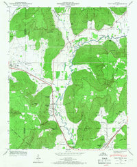
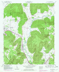
1948 Map of Paint Rock
USGS Topo · Published 1966About this map
The Paint Rock River winds through a landscape defined by deep coves and prominent peaks such as Kee Mountain and Bingham Mountain. In the late 1940s, the Southern RR and Lee Highway served as the primary transit corridors connecting the settlements of Paint Rock, Woodville, and Garth. This period shows a community deeply rooted in its local geography, with numerous family and community cemeteries like Rousseau Cem and Jones Cem scattered throughout the valleys. A notable point of local history is the Conyers-Rosenwald School, an important educational landmark. The map also identifies several military reservations, including the Lacy Reservation and Stevens Reservation, while river crossings such as Walker Mill Ford and Wells Ford reveal how residents navigated the waterway before extensive modern bridging.
Find a feature on this map
75 named features on this map. Tap any name to fly to it.
Don’t see what you’re looking for? This feature index may not catch every label — zoom into the map to look around manually.
Map Details
Editions of this 1948 Paint Rock Map
5 editions found
Other maps of this area

1888 · Scottsboro
USGS Topo · 1:125,000

1892 · Scottsboro
USGS Topo · 1:125,000

1936 · New Hope
USGS Topo · 1:24,000

1936 · Moontown
USGS Topo · 1:24,000

1936 · Hollytree
USGS Topo · 1:24,000

1936 · Grant
USGS Topo · 1:24,000

1936 · Princeton
USGS Topo · 1:24,000

1936 · Lim Rock
USGS Topo · 1:24,000

1936 · Maysville
USGS Topo · 1:24,000
1936 · Swearengin
USGS Topo · 1:24,000