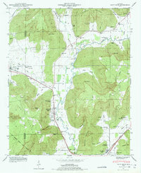
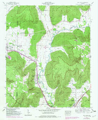
1948 Map of Paint Rock
USGS Topo · Published 1975About this map
Paint Rock and Woodville serve as the primary hubs in this valley landscape, anchored by the Southern railroad line and the Lee Highway. The mapping reflects a rural society structured around localized family and church communities, evidenced by numerous burial grounds like Rousseau Cem and Latham Cem, and institutional landmarks such as the Conyers-Rosenwald School. The Paint Rock River winds through the center of the sheet, its importance to local travel and industry marked by crossing points like Walker Mill Ford and Wells Ford. Between the peaks of Keel Mountain and Bingham Mountain, the map details a series of coves and hollows, including Bucks Pocket and Kennamer Hollow, which have historically dictated the placement of small settlements and agricultural tracts. This 1948 survey provides a clear view of the Jackson County and Madison County borderlands before modern development altered these traditional community footprints.
Find a feature on this map
89 named features on this map. Tap any name to fly to it.
Don’t see what you’re looking for? This feature index may not catch every label — zoom into the map to look around manually.
Map Details
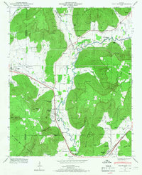
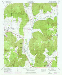
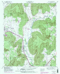
Editions of this 1948 Paint Rock Map
5 editions found
Other maps of this area

1888 · Scottsboro
USGS Topo · 1:125,000

1892 · Scottsboro
USGS Topo · 1:125,000

1936 · New Hope
USGS Topo · 1:24,000

1936 · Moontown
USGS Topo · 1:24,000

1936 · Hollytree
USGS Topo · 1:24,000

1936 · Grant
USGS Topo · 1:24,000

1936 · Princeton
USGS Topo · 1:24,000

1936 · Lim Rock
USGS Topo · 1:24,000

1936 · Maysville
USGS Topo · 1:24,000
1936 · Swearengin
USGS Topo · 1:24,000