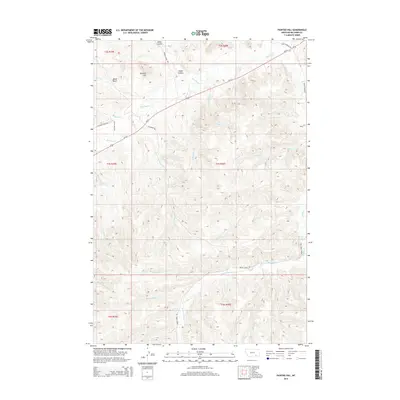
2014 Map of Painted Hill
USGS Topo · Published 2014About this map
Rosebud Cr and Us-212 cut through this landscape in the Busby District, defining a region of named drainages and high points. The map details a complex system of waterways, including Two Moon Cr feeding into the Two Moon Reservoir, while to the east, Muddy Springs marks a specific point of interest near the headwaters of Muddy Cr. The terrain is characterized by numerous family-named and culturally significant landmarks such as Painted Hill, Ridgewalker, and Wood Gulch.
Find a feature on this map
37 named features on this map. Tap any name to fly to it.
Don’t see what you’re looking for? This feature index may not catch every label — zoom into the map to look around manually.
Map Details
Editions of this 2014 Painted Hill Map
This is the sole edition of this map. No revisions or reprints were ever made.
Other maps of this area

1954 · Hardin
USGS Topo · 1:250,000

1957 · Hardin
USGS Topo · 1:250,000

1958 · Hardin
USGS Topo · 1:250,000

1958 · Chalky Point
USGS Topo · 1:24,000

1958 · Painted Hill
USGS Topo · 1:24,000

1958 · Bull Creek Lookout
USGS Topo · 1:24,000

1958 · Jimtown
USGS Topo · 1:24,000

1958 · Black Spring
USGS Topo · 1:24,000

1958 · Busby
USGS Topo · 1:24,000

1958 · Birdseye Spring
USGS Topo · 1:24,000