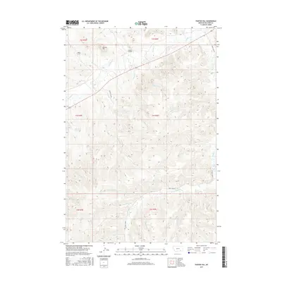
2017 Map of Painted Hill
USGS Topo · Published 2017About this map
Painted Hill rises over an intricate network of drainages in this Big Horn County landscape, where the naming of physical features reflects the heritage of the region. The drainage patterns of Rosebud Cr and its many tributaries, including Killsnight Cr and Ridgewalker Cr, dominate the geography. This 2017 survey reveals a terrain defined by significant creek systems and draws such as Wood Gulch and Indian Coulee. The presence of Two Moon Reservoir and its associated Two Moon Cr indicates the importance of water management in this arid cattle-country environment. Other culturally significant water features include Medicine Elk Cr, Black Whiteman Cr, and Shavedhead Cr, names that speak to the local history and the individuals who traversed these plains. The infrastructure is sparse, primarily consisting of Muddy Creek Rd and Highway 212, which provide the primary access through these rugged townships.
Find a feature on this map
32 named features on this map. Tap any name to fly to it.
Don’t see what you’re looking for? This feature index may not catch every label — zoom into the map to look around manually.
Map Details
Editions of this 2017 Painted Hill Map
This is the sole edition of this map. No revisions or reprints were ever made.
Other maps of this area

1954 · Hardin
USGS Topo · 1:250,000

1957 · Hardin
USGS Topo · 1:250,000

1958 · Hardin
USGS Topo · 1:250,000

1958 · Chalky Point
USGS Topo · 1:24,000

1958 · Painted Hill
USGS Topo · 1:24,000

1958 · Bull Creek Lookout
USGS Topo · 1:24,000

1958 · Jimtown
USGS Topo · 1:24,000

1958 · Black Spring
USGS Topo · 1:24,000

1958 · Busby
USGS Topo · 1:24,000

1958 · Birdseye Spring
USGS Topo · 1:24,000