
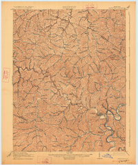
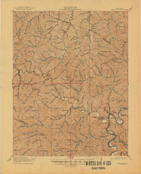
1917 Map of Paintsville
USGS Topo · Published 1917About this map
Paintsville serves as the focal point of this 1915 survey, situated at the confluence of Paint Creek and the Levisa Fork of the Big Sandy River. The landscape is defined by an intricate network of narrow valleys and winding watercourses, including Barnetts Creek, Johns Creek, and Miller Creek. At this time, the region was characterized by numerous small, isolated settlements such as Oil Springs, Flat Gap, and Winifred, each typically supported by a localized numbering system of rural schools like School No 12 and School No 4.
Find a feature on this map
150 named features on this map. Tap any name to fly to it.
Don’t see what you’re looking for? This feature index may not catch every label — zoom into the map to look around manually.
Map Details
Editions of this 1917 Paintsville Map
Other maps of this area

1886 · Prestonsburg
USGS Topo · 1:125,000

1889 · Salyersville
USGS Topo · 1:125,000

1891 · Salyersville
USGS Topo · 1:125,000

1892 · Prestonsburg
USGS Topo · 1:125,000

1899 · Salyersville
USGS Topo · 1:125,000

1903 · Kenova
USGS Topo · 1:125,000

1904 · Kenova
USGS Topo · 1:125,000

1911 · Louisa
USGS Topo · 1:48,000

1913 · Louisa
USGS Topo · 1:62,500

1914 · Laynesville
USGS Topo · 1:48,000