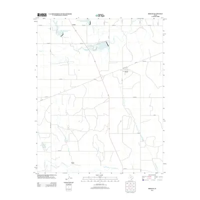
1962 Map of Pakan
USGS Topo · Published 1991About this map
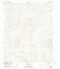
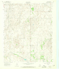
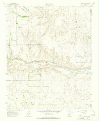
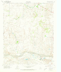
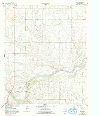
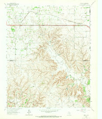
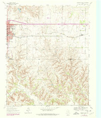
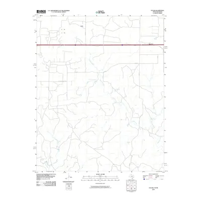
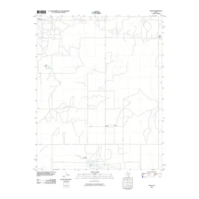
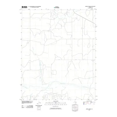
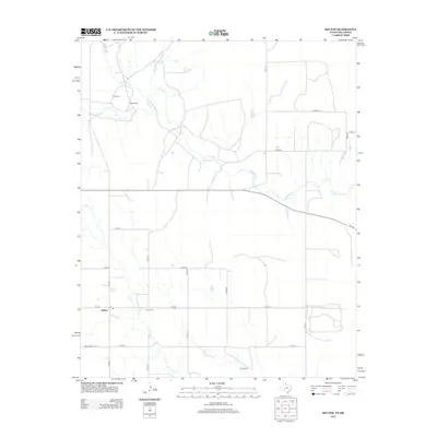
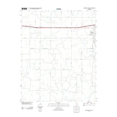
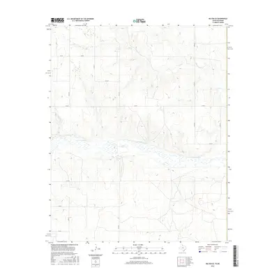
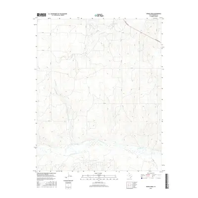
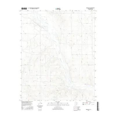
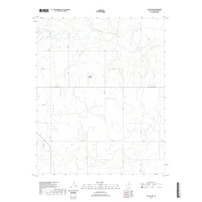
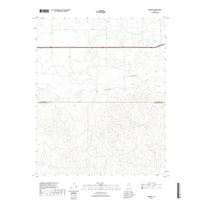
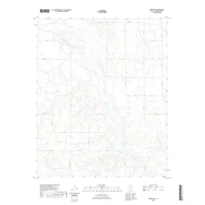
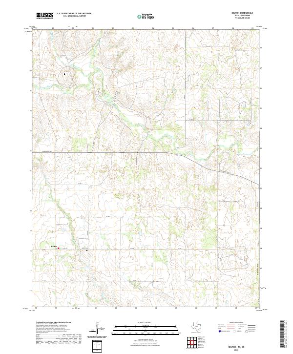
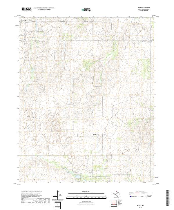
Kellerville and Magic City anchor the northern reaches of this Wheeler County landscape, which is defined by an expansive Gas and Oil Field. The 1960s terrain is heavily marked by energy infrastructure, including numerous Gas Wells and a Pipeline network that traverses the topography near the Pumping Sta. The settlement of Pakan sits centrally, supported by the historic Pakan Cem and situated near drainage systems like Little Hackberry Creek and North Spring Creek. Transportation in the northeast corner is dominated by the Fort Worth and Denver line, which follows the orientation of the valley floor. In the southern portion of the map, the seasonal nature of the High Plains hydrology is evident in the naming of Long Dry Creek and its path toward Sweetwater Creek.
Find a feature on this map
18 named features on this map. Tap any name to fly to it.
Don’t see what you’re looking for? This feature index may not catch every label — zoom into the map to look around manually.
Map Details
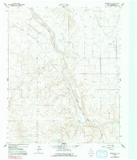
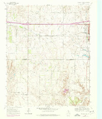
Editions of this 1962 Pakan Map
2 editions found
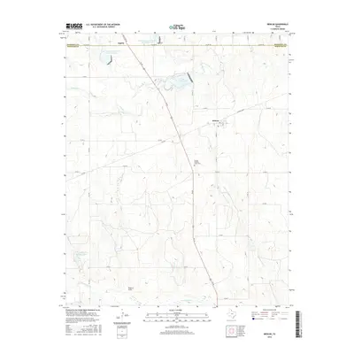
Historical Maps of Magic City Through Time
78 maps found
1962 Kelton SE
Wheeler County, TX
1962 Pakan
Wheeler County, TX
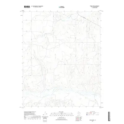
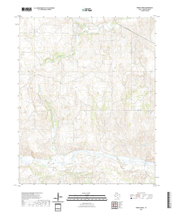
1962 Spring Creek
Wheeler County, TX
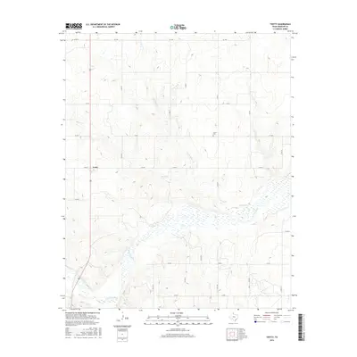
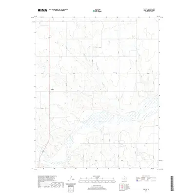
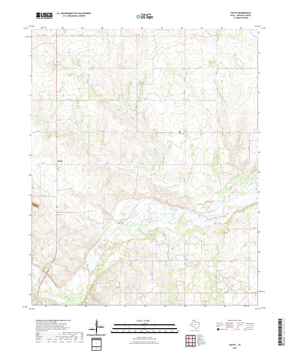
1962 Twitty
Wheeler County, TX
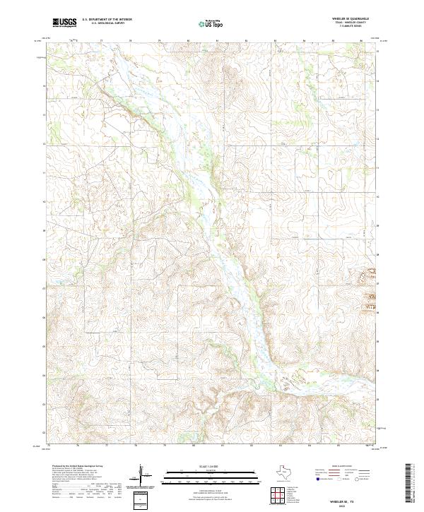
1962 Wheeler SE
Wheeler County, TX
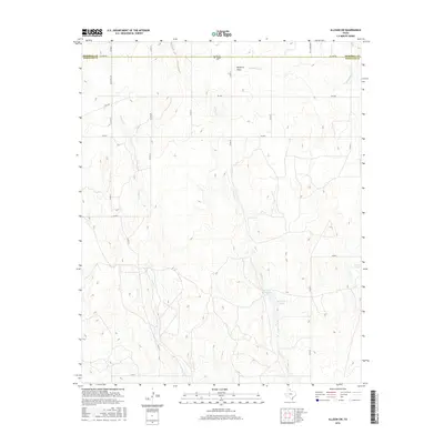
1963 Allison SW
Wheeler County, TX
1963 Briscoe
Wheeler County, TX
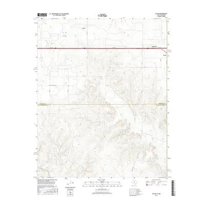
1963 Fulller
Wheeler County, TX
1963 Kelton NW
Wheeler County, TX
1963 Kelton
Wheeler County, TX
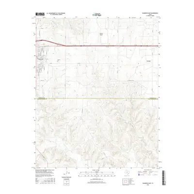
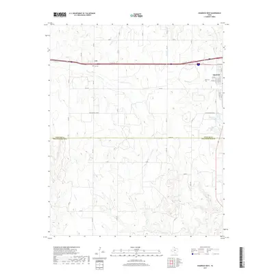
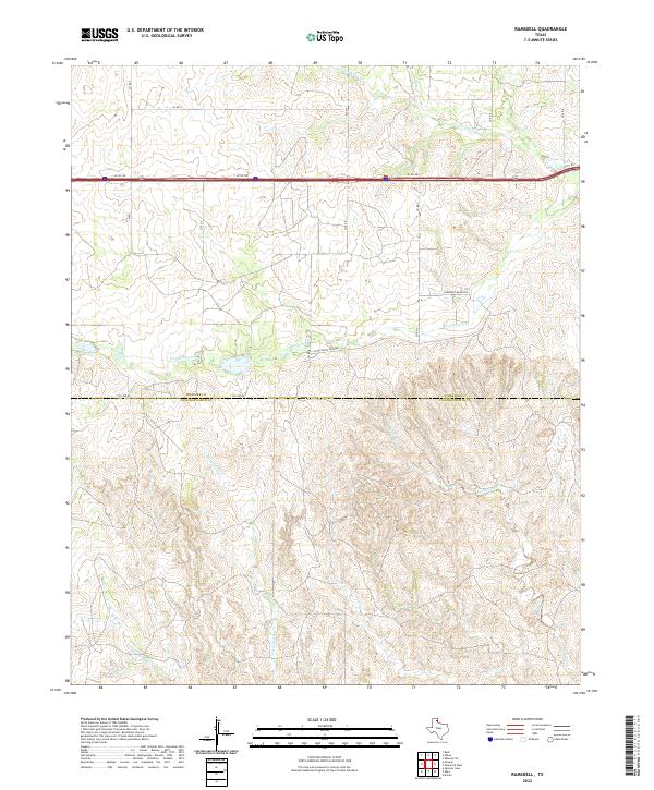
1963 Ramsdell
Wheeler County, TX
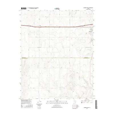
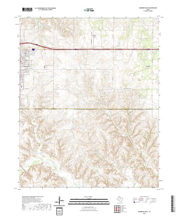
1963 Shamrock East
Wheeler County, TX
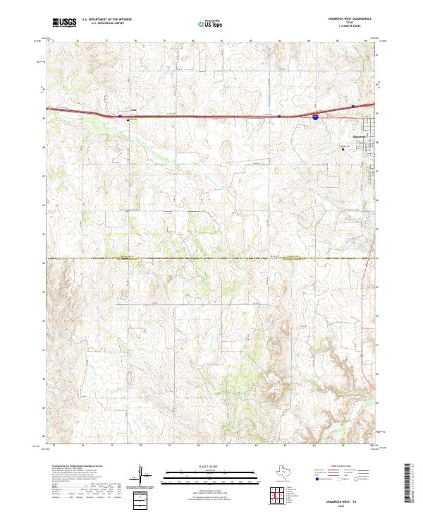
1963 Shamrock West
Wheeler County, TX
2010 Allison SW
Wheeler County, TX
2010 Briscoe
Wheeler County, TX
2010 Fuller
Wheeler County, TX
2010 Kelton NW
Wheeler County, TX
2010 Kelton SE
Wheeler County, TX
2010 Kelton
Wheeler County, TX
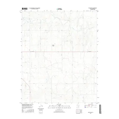
2010 Pakan
Wheeler County, TX
2010 Ramsdell
Wheeler County, TX
2010 Shamrock East
Wheeler County, TX
2010 Shamrock West
Wheeler County, TX
2010 Spring Creek
Wheeler County, TX
2010 Twitty
Wheeler County, TX
2010 Wheeler SE
Wheeler County, TX
2012 Allison SW
Wheeler County, TX
2012 Briscoe
Wheeler County, TX
2012 Fuller
Wheeler County, TX
2012 Kelton NW
Wheeler County, TX
2012 Kelton SE
Wheeler County, TX
2012 Kelton
Wheeler County, TX
2012 Pakan
Wheeler County, TX
2012 Ramsdell
Wheeler County, TX
2012 Shamrock East
Wheeler County, TX
2012 Shamrock West
Wheeler County, TX
2012 Spring Creek
Wheeler County, TX
2012 Twitty
Wheeler County, TX
2012 Wheeler SE
Wheeler County, TX
2016 Allison SW
Wheeler County, TX
2016 Briscoe
Wheeler County, TX
2016 Fuller
Wheeler County, TX
2016 Kelton NW
Wheeler County, TX
2016 Kelton SE
Wheeler County, TX
2016 Kelton
Wheeler County, TX
2016 Pakan
Wheeler County, TX
2016 Ramsdell
Wheeler County, TX
2016 Shamrock East
Wheeler County, TX
2016 Shamrock West
Wheeler County, TX
2016 Spring Creek
Wheeler County, TX
2016 Twitty
Wheeler County, TX
2016 Wheeler SE
Wheeler County, TX
2019 Allison SW
Wheeler County, TX
2019 Briscoe
Wheeler County, TX
2019 Fuller
Wheeler County, TX
2019 Kelton NW
Wheeler County, TX
2019 Kelton SE
Wheeler County, TX
2019 Kelton
Wheeler County, TX
2019 Pakan
Wheeler County, TX
2019 Ramsdell
Wheeler County, TX

2019 Shamrock East
Wheeler County, TX
2019 Shamrock West
Wheeler County, TX
2019 Spring Creek
Wheeler County, TX
2019 Twitty
Wheeler County, TX
2019 Wheeler SE
Wheeler County, TX
2022 Allison SW
Wheeler County, TX
2022 Briscoe
Wheeler County, TX
2022 Fuller
Wheeler County, TX
2022 Kelton NW
Wheeler County, TX
2022 Kelton SE
Wheeler County, TX
2022 Kelton
Wheeler County, TX
2022 Pakan
Wheeler County, TX
2022 Ramsdell
Wheeler County, TX
2022 Shamrock East
Wheeler County, TX
2022 Shamrock West
Wheeler County, TX
2022 Spring Creek
Wheeler County, TX
2022 Twitty
Wheeler County, TX
2022 Wheeler SE
Wheeler County, TX