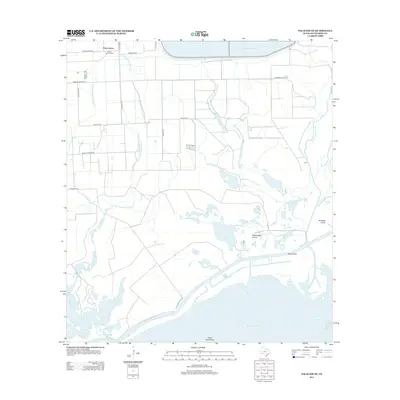
2013 Map of Palacios NE
USGS Topo · Published 2013About this map
Citrus Grove serves as the primary upland settlement in this coastal landscape, situated north of the expansive wetlands and marshes of Matagorda Bay. The local community is anchored by the Citrus Grove School, while a network of rural routes such as Million Dollar Rd and Franzene Rd connects the scattered homesteads. This area is defined by its complex hydrology, where the branching fingers of Mad Island Slough and Little Robbins Slough drain into the gulf.
Find a feature on this map
33 named features on this map. Tap any name to fly to it.
Don’t see what you’re looking for? This feature index may not catch every label — zoom into the map to look around manually.
Map Details
Editions of this 2013 Palacios NE Map
This is the sole edition of this map. No revisions or reprints were ever made.
Other maps of this area

1951 · Bay City
USGS Topo · 1:250,000

1952 · Palacios SE
USGS Topo · 1:24,000

1952 · Palacios Point
USGS Topo · 1:24,000

1952 · Matagorda
USGS Topo · 1:24,000

1952 · Blessing SE
USGS Topo · 1:24,000

1952 · Palacios
USGS Topo · 1:24,000
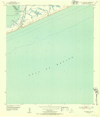
1952 · Matagorda SW
USGS Topo · 1:24,000

1952 · Blessing
USGS Topo · 1:24,000

1952 · Palacios NE
USGS Topo · 1:24,000

1952 · Wadsworth
USGS Topo · 1:24,000