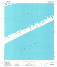
1952 Map of Palacios SE
USGS Topo · Published 1991About this map
The narrow stretch of the Matagorda Peninsula separates the open Gulf of Mexico from the shallow reaches of Matagorda Bay in this 1952 survey. This coastal environment is defined by its complex tidal hydrology, featuring numerous inlets such as Maverick Bayou, Big Bayou, and Long Bayou that cut through the sandy barrier. Along the northern shoreline, the Intracoastal Waterway provides a protected passage for maritime traffic, passing just south of Mad Island Lake.
Find a feature on this map
17 named features on this map. Tap any name to fly to it.
Don’t see what you’re looking for? This feature index may not catch every label — zoom into the map to look around manually.
Map Details
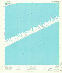
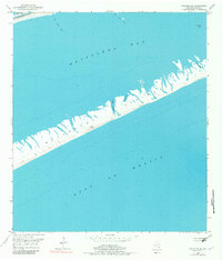
Editions of this 1952 Palacios SE Map
4 editions found
Other maps of this area

1951 · Bay City
USGS Topo · 1:250,000

1952 · Palacios SE
USGS Topo · 1:24,000

1952 · Palacios Point
USGS Topo · 1:24,000

1952 · Matagorda
USGS Topo · 1:24,000

1952 · Palacios
USGS Topo · 1:24,000
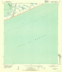
1952 · Matagorda SW
USGS Topo · 1:24,000

1952 · South of Palacios Point
USGS Topo · 1:24,000

1952 · Palacios NE
USGS Topo · 1:24,000

1953 · Beeville
USGS Topo · 1:250,000

1956 · Beeville
USGS Topo · 1:250,000