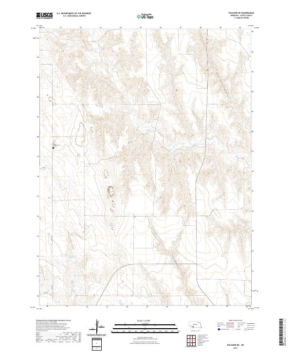
2021 Map of Palisade NE
USGS Topo · Published 2021About this map
Union Mission Cem sits atop the high, dissected plains of Hayes County, serving as a solitary spiritual landmark in this corner of southwestern Nebraska. The landscape is defined by the sharp, dendritic erosion of Government Canyon in the northeast and Fish Canyon to the south, showcasing the intricate drainage patterns that feed into the Republican River watershed. These canyons carve through the high tablelands, creating a complex topography of ridges and draws that dictates the local road network, including Ave 359 and Rd 732.
Find a feature on this map
14 named features on this map. Tap any name to fly to it.
Don’t see what you’re looking for? This feature index may not catch every label — zoom into the map to look around manually.
Map Details
Editions of this 2021 Palisade NE Map
This is the sole edition of this map. No revisions or reprints were ever made.
Other maps of this area

1954 · McCook
USGS Topo · 1:250,000

1957 · McCook
USGS Topo · 1:250,000

1958 · McCook
USGS Topo · 1:250,000

1973 · Palisade
USGS Topo · 1:24,000
1973 · Beverly
USGS Topo · 1:24,000

1973 · Palisade SW
USGS Topo · 1:24,000
1973 · Burger Canyon West
USGS Topo · 1:24,000

1974 · Hamlet
USGS Topo · 1:24,000

1974 · Hayes Center
USGS Topo · 1:24,000
1974 · Palisade NE
USGS Topo · 1:24,000