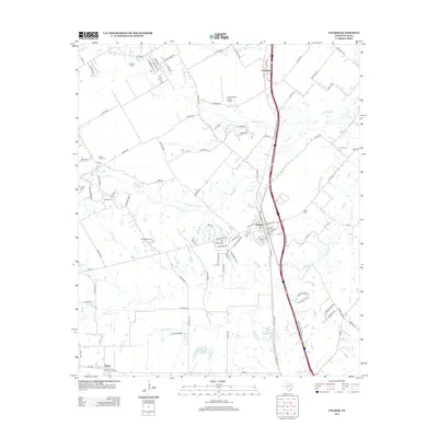
2012 Map of Palmer
USGS Topo · Published 2012About this map
Palmer serves as the central hub of this Ellis County landscape, situated along a busy transportation corridor that includes Interstate 45. The surrounding terrain is defined by a dense network of waterways, with Red Oak Cr and Brushy Cr meandering through the rural acreage north of the main settlement. Small aviation facilities like Dallas South Port Airport and Harper Airport indicate the modern character of the area, providing regional access outside of the larger metropolitan centers.
Find a feature on this map
103 named features on this map. Tap any name to fly to it.
Don’t see what you’re looking for? This feature index may not catch every label — zoom into the map to look around manually.
Map Details
Editions of this 2012 Palmer Map
This is the sole edition of this map. No revisions or reprints were ever made.
Other maps of this area

1891 · Dallas
USGS Topo · 1:125,000

1893 · Dallas
USGS Topo · 1:125,000

1954 · Dallas
USGS Topo · 1:250,000

1956 · Ennis
USGS Topo · 1:62,500

1958 · Dallas
USGS Topo · 1:250,000

1959 · Lancaster
USGS Topo · 1:24,000

1959 · Ferris
USGS Topo · 1:24,000

1959 · India
USGS Topo · 1:24,000

1959 · Seagoville
USGS Topo · 1:62,500

1961 · Forreston
USGS Topo · 1:24,000