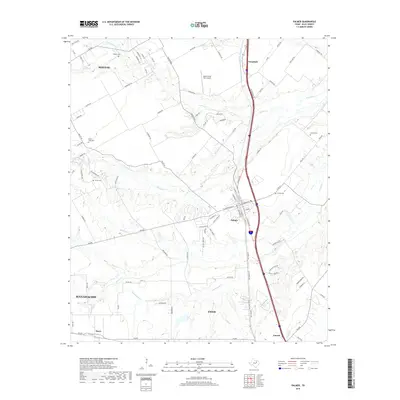
2019 Map of Palmer
USGS Topo · Published 2019About this map
Palmer and the surrounding Ellis County countryside are defined by a network of creeks and drainage basins that have historically dictated the placement of roads and homesteads. The central corridor is dominated by Red Oak Cr and Grove Cr, which wind through the landscape alongside established transportation routes. Local family histories are anchored by several small burial grounds including Douglas Cem, Prude Hyde Cem, and the Smith Cem, preserving the names of early settlers in the region.
Find a feature on this map
101 named features on this map. Tap any name to fly to it.
Don’t see what you’re looking for? This feature index may not catch every label — zoom into the map to look around manually.
Map Details
Editions of this 2019 Palmer Map
This is the sole edition of this map. No revisions or reprints were ever made.
Other maps of this area

1891 · Dallas
USGS Topo · 1:125,000

1893 · Dallas
USGS Topo · 1:125,000

1954 · Dallas
USGS Topo · 1:250,000

1956 · Ennis
USGS Topo · 1:62,500

1958 · Dallas
USGS Topo · 1:250,000

1959 · Lancaster
USGS Topo · 1:24,000

1959 · Ferris
USGS Topo · 1:24,000

1959 · India
USGS Topo · 1:24,000

1959 · Seagoville
USGS Topo · 1:62,500

1961 · Forreston
USGS Topo · 1:24,000