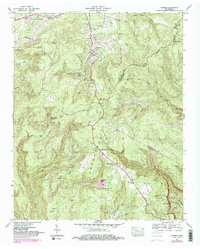
1947 Map of Palmer
USGS Topo · Published 1983About this map
Industrial extraction and rugged terrain characterize this portion of the Cumberland Plateau, where the town of Palmer serves as a central hub for regional coal operations. The presence of the Palmer Mine and the Reel Cove Mine, along with various strip and stop mines, indicates the heavy reliance on the mining economy during this period. The Seaboard rail line provides the critical transportation link through the valley, connecting the mining sites and smaller settlements like Tatesville and Bunker Hill to broader markets.
Find a feature on this map
61 named features on this map. Tap any name to fly to it.
Don’t see what you’re looking for? This feature index may not catch every label — zoom into the map to look around manually.
Map Details
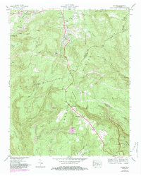
Editions of this 1947 Palmer Map
2 editions found
Other maps of this area

1888 · Chattanooga
USGS Topo · 1:125,000

1893 · Chattanooga
USGS Topo · 1:125,000

1895 · Sewanee
USGS Topo · 1:125,000

1936 · Palmer
USGS Topo · 1:24,000

1936 · Daus
USGS Topo · 1:24,000

1936 · Whitwell
USGS Topo · 1:24,000

1936 · Tracy City
USGS Topo · 1:24,000

1936 · Ketner Gap
USGS Topo · 1:24,000

1936 · White City
USGS Topo · 1:24,000
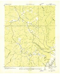
1936 · Savage Point
USGS Topo · 1:24,000