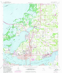
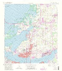
1964 Map of Palmetto
USGS Topo · Published 1982About this map
Terra Ceia Island and the northern reaches of the Manatee River define this coastal landscape, where the 1960s expansion of the Sunshine Skyway begins its leap across Tampa Bay. The map reveals a transition from traditional agricultural and maritime patterns to modern suburban growth, notably around Palmetto and Memphis. Cultural landmarks like Bickel Mound Park sit near intricate bayous and passes, such as Big Miguel Pass and Tillette Bayou, which highlight the complex shoreline of Terra Ceia Bay.
Find a feature on this map
102 named features on this map. Tap any name to fly to it.
Don’t see what you’re looking for? This feature index may not catch every label — zoom into the map to look around manually.
Map Details
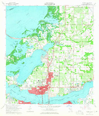
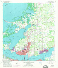
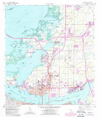
Editions of this 1964 Palmetto Map
5 editions found
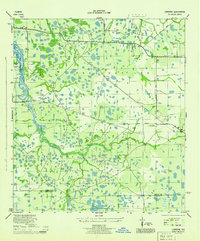
Other maps of this area

1921 · Fort De Soto
USGS Topo · 1:62,500

1942 · Cockroach Bay
USGS Topo · 1:31,680

1943 · Pass-A-Grille
USGS Topo · 1:31,680
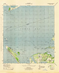
1944 · Anna Maria
USGS Topo · 1:31,680

1944 · Ruskin
USGS Topo · 1:31,680
1944 · Lorraine
USGS Topo · 1:31,680

1944 · Ellenton
USGS Topo · 1:31,680

1944 · Parish
USGS Topo · 1:31,680
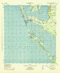
1944 · Bradenton Beach
USGS Topo · 1:31,680

1945 · Cockroach Bay
USGS Topo · 1:31,680