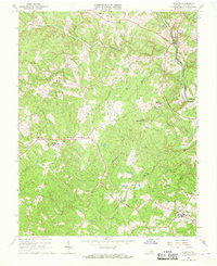
1967 Map of Palmyra
USGS Topo · Published 1968About this map
The Rivanna River defines the eastern edge of this landscape, where the Chesapeake and Ohio railroad corridor follows the water's edge near the community of Palmyra. The interior terrain is shaped by the complex drainage of Cunningham Creek, including its Middle Fork and South Fork, which wind through a series of prominent elevations like Little Mountain Hill and the Mountain Hills.
Find a feature on this map
43 named features on this map. Tap any name to fly to it.
Don’t see what you’re looking for? This feature index may not catch every label — zoom into the map to look around manually.
Map Details
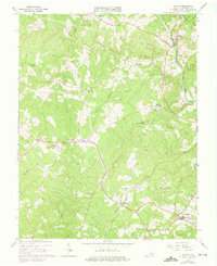
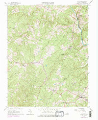
Editions of this 1967 Palmyra Map
Other maps of this area

1891 · Palmyra
USGS Topo · 1:125,000

1895 · Palmyra
USGS Topo · 1:125,000

1897 · Palmyra
USGS Topo · 1:125,000

1943 · Scottsville
USGS Topo · 1:62,500

1946 · Scottsville
USGS Topo · 1:62,500

1947 · Roanoke
USGS Topo · 1:250,000

1950 · Dillwyn
USGS Topo · 1:62,500

1958 · Dillwyn
USGS Topo · 1:62,500

1959 · Roanoke
USGS Topo · 1:250,000

1960 · Columbia
USGS Topo · 1:62,500