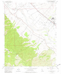
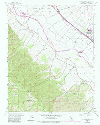
1956 Map of Palo Escrito Peak
USGS Topo · Published 1982About this map
Sierra Salinas rises sharply above the agricultural valley floor, anchored by the prominent Palo Escrito Peak and Paloma Mtn. This mid-century landscape is defined by the expansive historic land grants of Paraje De Sanchez and San Vicente (Munrass), where the Salinas River carves a path through the alluvial plain. The Southern Pacific railroad corridor serves as the primary industrial axis, connecting small settlements like Molus and Camphora with larger facilities such as the Soledad State Prison and the Gonzales Fire Sta.
Find a feature on this map
32 named features on this map. Tap any name to fly to it.
Don’t see what you’re looking for? This feature index may not catch every label — zoom into the map to look around manually.
Map Details
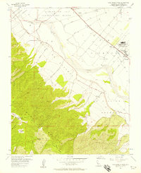
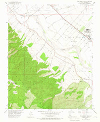
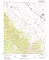
Editions of this 1956 Palo Escrito Peak Map
5 editions found
Other maps of this area

1910 · Gonzales
USGS Topo · 1:31,680

1910 · Salinas
USGS Topo · 1:31,680

1910 · Soledad
USGS Topo · 1:31,680

1912 · Salinas
USGS Topo · 1:62,500

1915 · Soledad
USGS Topo · 1:62,500

1920 · Jamesburg
USGS Topo · 1:48,000

1921 · Jamesburg
USGS Topo · 1:62,500

1921 · Gonzales
USGS Topo · 1:62,500

1939 · Jamesburg
USGS Topo · 1:62,500

1940 · Salinas
USGS Topo · 1:62,500