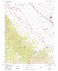
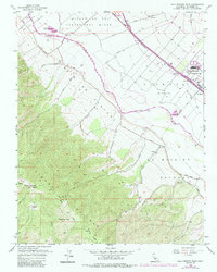
1956 Map of Palo Escrito Peak
USGS Topo · Published 1984About this map
The Sierra De Salinas dominates the western half of this landscape, rising to prominent summits like Palo Escrito Peak and Paloma Mtn. The terrain transitions sharply from these high ridges down into the fertile valley floor where the Salinas River flows. This 1956 survey, with photorevisions from the early 1980s, reveals a complex layering of land tenure, including large historical tracts such as Ex Mission Soledad and Paraje De Sanchez, which contrast with the grid-like development of the valley floor.
Find a feature on this map
36 named features on this map. Tap any name to fly to it.
Don’t see what you’re looking for? This feature index may not catch every label — zoom into the map to look around manually.
Map Details
Editions of this 1956 Palo Escrito Peak Map
5 editions found
Other maps of this area

1910 · Gonzales
USGS Topo · 1:31,680

1910 · Salinas
USGS Topo · 1:31,680

1910 · Soledad
USGS Topo · 1:31,680

1912 · Salinas
USGS Topo · 1:62,500

1915 · Soledad
USGS Topo · 1:62,500

1920 · Jamesburg
USGS Topo · 1:48,000

1921 · Jamesburg
USGS Topo · 1:62,500

1921 · Gonzales
USGS Topo · 1:62,500

1939 · Jamesburg
USGS Topo · 1:62,500

1940 · Salinas
USGS Topo · 1:62,500