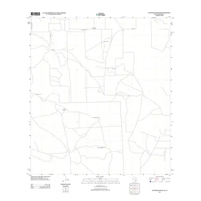
2013 Map of Palomas Ranch SE
USGS Topo · Published 2013About this map
Ranching infrastructure and water access points define the landscape of south Texas in this early 21st-century survey of the Palomas Ranch area. The territory is marked by a network of named water sources essential to livestock management, including Madrigueras Windmill, Chivo Windmill, and San Cristobal Windmill. These features indicate the ongoing importance of groundwater in an arid environment where surface water is scarce. Local history is anchored at the Perez Cem, a small burial ground located east of the primary ranch roads. Transportation is limited to a sparse grid of county routes such as Co RD-408 and Co RD-409, which provide the only managed access through the expansive ranch lands. The distribution of features like Las Burras Windmill and La Colcha Windmill highlights a sprawling, low-density settlement pattern focused on agricultural utility rather than urban development.
Find a feature on this map
10 named features on this map. Tap any name to fly to it.
Don’t see what you’re looking for? This feature index may not catch every label — zoom into the map to look around manually.
Map Details
Editions of this 2013 Palomas Ranch SE Map
This is the sole edition of this map. No revisions or reprints were ever made.
Other maps of this area

1921 · Falfurrias
USGS Topo · 1:125,000

1939 · Encantada
USGS Topo · 1:62,500

1949 · Mc Allen
USGS Topo · 1:250,000

1954 · McAllen
USGS Topo · 1:250,000

1956 · Laredo
USGS Topo · 1:250,000

1957 · Mc Allen
USGS Topo · 1:250,000

1962 · McAllen
USGS Topo · 1:250,000

1963 · Cage Ranch
USGS Topo · 1:24,000
1963 · Encino
USGS Topo · 1:24,000

1963 · Falfurrias
USGS Topo · 1:24,000