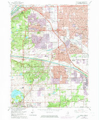
1963 Map of Palos Park
USGS Topo · Published 1974About this map
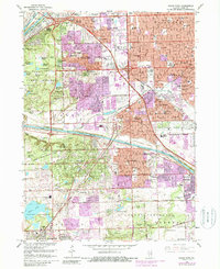
Resurrection Cemetery and Holy Sepulchre Cemetery anchor the landscape of this Cook County survey, which documents the post-war expansion of suburban Chicago. The transition from industrial corridors to residential development is evident where the Chicago Sanitary and Ship Canal and Illinois and Michigan Canal parallel the northern edge near Willow Springs. In the south, the Calumet Sag Channel cuts through the forest preserves, separating the established blocks of Worth and Palos Heights from the denser tracts of Oak Lawn.
Find a feature on this map
130 named features on this map. Tap any name to fly to it.
Don’t see what you’re looking for? This feature index may not catch every label — zoom into the map to look around manually.
Map Details
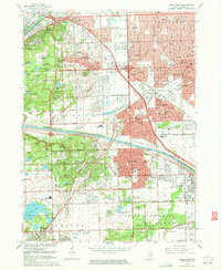
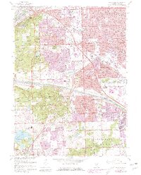
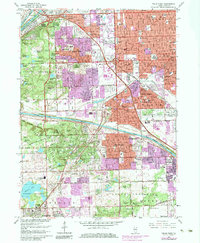
Editions of this 1963 Palos Park Map
5 editions found
Other maps of this area

1889 · Chicago
USGS Topo · 1:62,500

1890 · Des Plaines
USGS Topo · 1:62,500

1891 · Chicago
USGS Topo · 1:62,500

1891 · Riverside
USGS Topo · 1:62,500

1892 · Calumet
USGS Topo · 1:62,500

1893 · Calumet
USGS Topo · 1:62,500

1893 · Riverside
USGS Topo · 1:62,500

1894 · Des Plaines
USGS Topo · 1:62,500

1900 · Chicago
USGS Topo · 1:62,500

1900 · Des Plaines
USGS Topo · 1:62,500