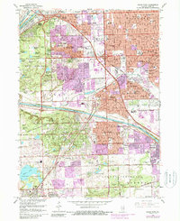
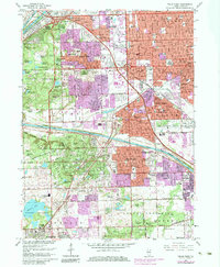
1963 Map of Palos Park
USGS Topo · Published 1988About this map
The Calumet Sag Channel and the Chicago Sanitary and Ship Canal dominate the northern and central landscape of this southwest Chicago suburban survey. The 1963 data, updated through 1980, reveals a complex transition between the dense residential grids of Oak Lawn and Worth and the sprawling green spaces of the Forest Preserve. Significant land use is dedicated to large memorial sites such as Holy Sepulchre Cemetery and the Lithuanian Cemetery, providing important markers for genealogists studying the area's ethnic settlements.
Find a feature on this map
130 named features on this map. Tap any name to fly to it.
Don’t see what you’re looking for? This feature index may not catch every label — zoom into the map to look around manually.
Map Details
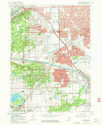
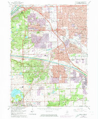
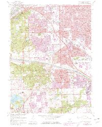
Editions of this 1963 Palos Park Map
5 editions found
Other maps of this area

1889 · Chicago
USGS Topo · 1:62,500

1890 · Des Plaines
USGS Topo · 1:62,500

1891 · Chicago
USGS Topo · 1:62,500

1891 · Riverside
USGS Topo · 1:62,500

1892 · Calumet
USGS Topo · 1:62,500

1893 · Calumet
USGS Topo · 1:62,500

1893 · Riverside
USGS Topo · 1:62,500

1894 · Des Plaines
USGS Topo · 1:62,500

1900 · Chicago
USGS Topo · 1:62,500

1900 · Des Plaines
USGS Topo · 1:62,500