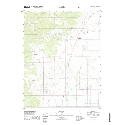
2020 Map of Panguitch NW
USGS Topo · Published 2020About this map
Sevier River water rights and agricultural development define this high-altitude landscape along the border of Iron and Garfield Counties. The map reveals an intricate network of irrigation systems essential to the region's ranching history, including the Panguitch Canal, McEwen Ditch, and the uniquely named Barton Tebbs LaFevre Canal. These man-made waterways redirect flow from natural sources like Bear Cr and Sanford Cr to support the valley's clearings.
Find a feature on this map
29 named features on this map. Tap any name to fly to it.
Don’t see what you’re looking for? This feature index may not catch every label — zoom into the map to look around manually.
Map Details
Editions of this 2020 Panguitch NW Map
This is the sole edition of this map. No revisions or reprints were ever made.
Other maps of this area

1885 · Beaver
USGS Topo · 1:250,000

1886 · Kanab
USGS Topo · 1:250,000

1953 · Richfield
USGS Topo · 1:250,000

1953 · Cedar City
USGS Topo · 1:250,000

1958 · Richfield
USGS Topo · 1:250,000

1958 · Cedar City
USGS Topo · 1:250,000

1962 · Cedar City
USGS Topo · 1:250,000

1966 · Bull Rush Peak
USGS Topo · 1:24,000

1966 · Fremont Pass
USGS Topo · 1:24,000

1966 · Panguitch NW
USGS Topo · 1:24,000