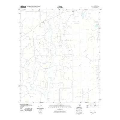
2010 Map of Panola
USGS Topo · Published 2010About this map
Bethany Oil and Gas Field anchors the western landscape of this borderland survey, illustrating the petroleum industry's footprint near the Texas-Louisiana state line. The small settlements of Bethany and Panola are positioned along the primary transit corridors, serving as local hubs in a region defined by a dense network of watercourses. The drainage patterns of East Fork Socagee Creek and the West Fork Socagee Creek converge toward the south, while Boggy Bayou and Mill Creek shape the eastern terrain. Family and community history is preserved through several distinct burial grounds, including Jernigan Cemetery, Ivory Cemetery, and the appropriately named State Line Cemetery, which sits directly on the boundary between the two states. The presence of Lakeland Farm Lake indicates localized water management in an area otherwise characterized by natural bayous and creek bottoms.
Find a feature on this map
12 named features on this map. Tap any name to fly to it.
Don’t see what you’re looking for? This feature index may not catch every label — zoom into the map to look around manually.
Map Details
Editions of this 2010 Panola Map
This is the sole edition of this map. No revisions or reprints were ever made.
Other maps of this area

1943 · Waskom
USGS Topo · 1:62,500

1945 · Grand Cane
USGS Topo · 1:62,500

1945 · Waskom
USGS Topo · 1:62,500

1945 · Greenwood
USGS Topo · 1:62,500

1945 · Socagee Bayou
USGS Topo · 1:62,500

1955 · Shreveport
USGS Topo · 1:250,000

1955 · Greenwood
USGS Topo · 1:62,500

1956 · Shreveport
USGS Topo · 1:250,000

1956 · Tyler
USGS Topo · 1:250,000

1956 · Deadwood
USGS Topo · 1:62,500