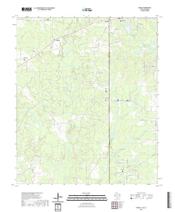
2022 Map of Panola
USGS Topo · Published 2022About this map
Bethany and Panola sit directly along the shared border of Panola County, Texas, and Caddo Parish, Louisiana, in a landscape defined by the drainage of Socagee Creek. The map reveals a high concentration of burial grounds and rural churches scattered throughout the timbered terrain, reflecting a deeply rooted community history. From Boggy Bayou Baptist Cemetery in the north to Crossroads Cemetery in the south, these family and community landmarks are often found at the end of local routes like Bethany-State Line Road.
Find a feature on this map
81 named features on this map. Tap any name to fly to it.
Don’t see what you’re looking for? This feature index may not catch every label — zoom into the map to look around manually.
Map Details
Editions of this 2022 Panola Map
This is the sole edition of this map. No revisions or reprints were ever made.
Other maps of this area

1943 · Waskom
USGS Topo · 1:62,500

1945 · Grand Cane
USGS Topo · 1:62,500

1945 · Waskom
USGS Topo · 1:62,500

1945 · Greenwood
USGS Topo · 1:62,500

1945 · Socagee Bayou
USGS Topo · 1:62,500

1955 · Shreveport
USGS Topo · 1:250,000

1955 · Greenwood
USGS Topo · 1:62,500

1956 · Shreveport
USGS Topo · 1:250,000

1956 · Tyler
USGS Topo · 1:250,000

1956 · Deadwood
USGS Topo · 1:62,500