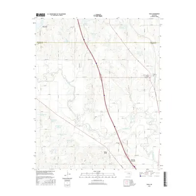
2016 Map of Paoli
USGS Topo · Published 2016About this map
The Washita River meanders across this Oklahoma landscape, defining the topography between Maysville and the northern reaches of Pauls Valley. This 2016 survey highlights a region shaped by modern water management, visible through a series of flood control structures such as Wayne Creek Site 2 Reservoir and the Maysville Laterals Site L3 Reservoir system. These reservoirs, alongside Horseshoe Lake, suggest a valley deeply integrated with agrarian and conservation efforts.
Find a feature on this map
68 named features on this map. Tap any name to fly to it.
Don’t see what you’re looking for? This feature index may not catch every label — zoom into the map to look around manually.
Map Details
Editions of this 2016 Paoli Map
This is the sole edition of this map. No revisions or reprints were ever made.
Other maps of this area

1898 · Pauls Valley
USGS Topo · 1:125,000

1902 · Pauls Valley
USGS Topo · 1:125,000

1957 · Ardmore
USGS Topo · 1:250,000

1963 · Ardmore
USGS Topo · 1:250,000
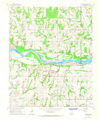
1965 · Rosedale
USGS Topo · 1:24,000

1965 · Byars SW
USGS Topo · 1:24,000
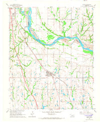
1965 · Wayne
USGS Topo · 1:24,000

1965 · Pauls Valley
USGS Topo · 1:24,000

1965 · Maysville
USGS Topo · 1:24,000

1965 · Paoli
USGS Topo · 1:24,000