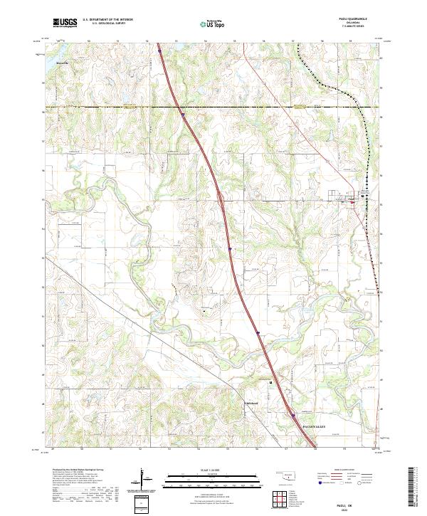
2022 Map of Paoli
USGS Topo · Published 2022About this map
The Washita River meanders across this Central Oklahoma landscape, defining the character of the terrain between the northern reaches of Pauls Valley and the community of Paoli. The river’s ancient floodplain is marked by features like Horseshoe Lake, an oxbow that indicates the shifting nature of the watercourse over time. The map documents the settlement pattern near the boundary of McClain and Garvin Counties, where agricultural life is anchored by historic sites such as Whitebead and its associated Whitebead Cem. Local history is further preserved through several rural burial grounds, including the Dulin and Wilner Cem and Florence Cem, which serve as key markers for genealogical research. The region's drainage is supported by numerous tributaries like Cheek Cr, Gaddis Creek, and Owl Cr, illustrating the well-watered topography that has supported this section of the state for generations.
Find a feature on this map
46 named features on this map. Tap any name to fly to it.
Don’t see what you’re looking for? This feature index may not catch every label — zoom into the map to look around manually.
Map Details
Editions of this 2022 Paoli Map
This is the sole edition of this map. No revisions or reprints were ever made.
Other maps of this area

1898 · Pauls Valley
USGS Topo · 1:125,000

1902 · Pauls Valley
USGS Topo · 1:125,000

1957 · Ardmore
USGS Topo · 1:250,000

1963 · Ardmore
USGS Topo · 1:250,000
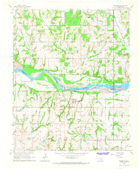
1965 · Rosedale
USGS Topo · 1:24,000

1965 · Byars SW
USGS Topo · 1:24,000
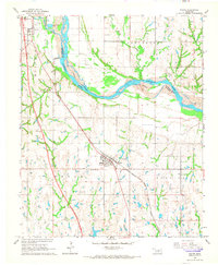
1965 · Wayne
USGS Topo · 1:24,000

1965 · Pauls Valley
USGS Topo · 1:24,000

1965 · Maysville
USGS Topo · 1:24,000

1965 · Paoli
USGS Topo · 1:24,000