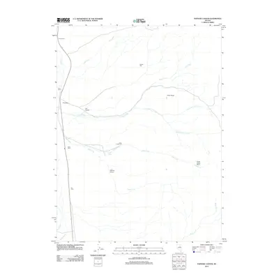
2012 Map of Papoose Canyon
USGS Topo · Published 2012About this map
Tomera Ranch and Rand Ranch anchor the northwestern reaches of this cattle-ranching landscape in northern Nevada. The terrain is defined by the contrast between the low-lying Pine Valley and the rising elevations of the Pinon Range, which dominates the central and eastern portions of the map. High-desert water sources are vital to the local economy and ecology, evidenced by the network of seasonal and perennial flows including Trout Creek, Dixie Fork Trout Creek, and Smith Creek.
Find a feature on this map
21 named features on this map. Tap any name to fly to it.
Don’t see what you’re looking for? This feature index may not catch every label — zoom into the map to look around manually.
Map Details
Editions of this 2012 Papoose Canyon Map
This is the sole edition of this map. No revisions or reprints were ever made.
Other maps of this area

1934 · Jiggs
USGS Topo · 1:125,000

1937 · Jiggs
USGS Topo · 1:125,000

1952 · Dixie Flats
USGS Topo · 1:62,500

1952 · Pine Valley
USGS Topo · 1:62,500

1952 · Carlin
USGS Topo · 1:62,500

1955 · Winnemucca
USGS Topo · 1:250,000

1955 · Elko
USGS Topo · 1:250,000

1956 · Robinson Mtn
USGS Topo · 1:62,500

1958 · Winnemucca
USGS Topo · 1:250,000

1958 · Elko
USGS Topo · 1:250,000