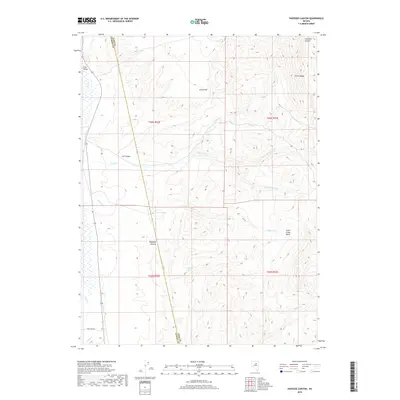
2018 Map of Papoose Canyon
USGS Topo · Published 2018About this map
Papoose Canyon cuts through the high desert of Elko County, marking a landscape defined by dramatic elevation changes and essential water sources. The terrain transitions from the broad expanse of Pine Valley in the west to the heights of the Piñon Range in the east. Hydrological patterns are central to life here, with seasonal drainages like Dixie Fork Trout Creek and Smith Creek descending toward the Smith Creek Basin. The presence of Papoose Spring and Indian Spring highlights the critical points of access for water in this arid environment. Transportation is sparse, dictated by the geography, with Iron Mine Rd providing one of the few named access routes through the southern portion of the quadrangle, while the boundary with Eureka County bisects the western slopes of the range.
Find a feature on this map
22 named features on this map. Tap any name to fly to it.
Don’t see what you’re looking for? This feature index may not catch every label — zoom into the map to look around manually.
Map Details
Editions of this 2018 Papoose Canyon Map
This is the sole edition of this map. No revisions or reprints were ever made.
Other maps of this area

1934 · Jiggs
USGS Topo · 1:125,000

1937 · Jiggs
USGS Topo · 1:125,000

1952 · Dixie Flats
USGS Topo · 1:62,500

1952 · Pine Valley
USGS Topo · 1:62,500

1952 · Carlin
USGS Topo · 1:62,500

1955 · Winnemucca
USGS Topo · 1:250,000

1955 · Elko
USGS Topo · 1:250,000

1956 · Robinson Mtn
USGS Topo · 1:62,500

1958 · Winnemucca
USGS Topo · 1:250,000

1958 · Elko
USGS Topo · 1:250,000