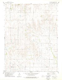
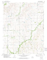
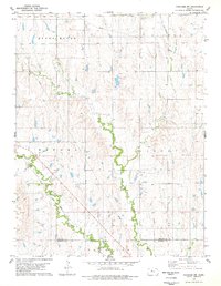
1978 Map of Paradise NE
USGS Topo · Published 1979This historical map portrays the area of Paradise NE in 1978, primarily covering Osborne County as well as portions of Russell County. Featuring a scale of 1:24000, this map provides a highly detailed snapshot of the terrain, roads, buildings, counties, and historical landmarks in the Paradise NE region at the time. Published in 1979, it is the sole known edition of this map.
Find a feature on this map
18 named features on this map. Tap any name to fly to it.
Don’t see what you’re looking for? This feature index may not catch every label — zoom into the map to look around manually.
Map Details
Editions of this 1978 Paradise NE Map
This is the sole edition of this map. No revisions or reprints were ever made.
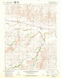
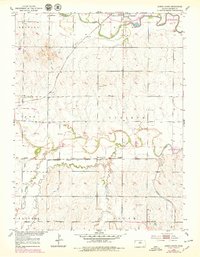
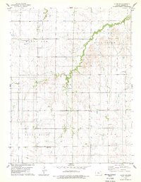
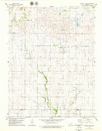
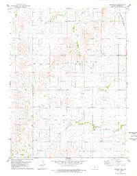
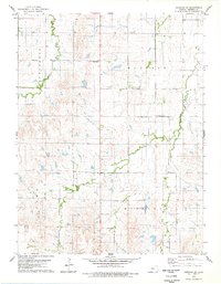
Historical Maps of Russell County Through Time
10 maps found
1953 Bloomington
Osborne County, KS
1953 Downs South
Osborne County, KS
1978 Alton SW
Osborne County, KS
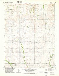
1978 Covert
Osborne County, KS
1978 Meades Ranch
Osborne County, KS
1978 Osborne SE
Osborne County, KS
1978 Osborne SW
Osborne County, KS
1978 Paradise NE
Osborne County, KS
1978 Paradise NW
Osborne County, KS
1978 Vincent
Osborne County, KS