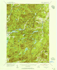
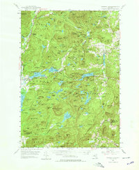
1953 Map of Paradox Lake
USGS Topo · Published 1956About this map
Ironville and Paradox anchor this mid-century portrait of the Adirondack landscape, where local industry and wilderness coexist. The presence of Inactive Mines near Penfield Pond speaks to the region's historic mining operations, while small settlements like North Hudson and Chilson reflect a post-war era of mountain life. The map meticulously documents a complex water network, from the narrow reaches of Black Brook to the broad expanse of Sherman Lake, alongside cultural landmarks such as St Nicholas Chapel.
Find a feature on this map
178 named features on this map. Tap any name to fly to it.
Don’t see what you’re looking for? This feature index may not catch every label — zoom into the map to look around manually.
Map Details
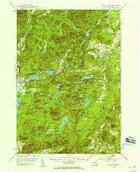
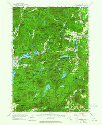
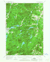
Editions of this 1953 Paradox Lake Map
5 editions found
Other maps of this area

1893 · Whitehall
USGS Topo · 1:62,500

1894 · Elizabethtown
USGS Topo · 1:62,500

1894 · Port Henry
USGS Topo · 1:62,500

1894 · Ticonderoga
USGS Topo · 1:62,500

1895 · Whitehall
USGS Topo · 1:62,500

1895 · Elizabethtown
USGS Topo · 1:62,500

1895 · North Creek
USGS Topo · 1:62,500

1895 · Mt. Marcy
USGS Topo · 1:62,500

1895 · Paradox Lake
USGS Topo · 1:62,500

1896 · Ticonderoga
USGS Topo · 1:62,500