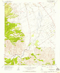
1956 Map of Paraiso Springs
USGS Topo · Published 1958About this map
Paraiso Springs and the eastern foothills of the Sierra de Salinas anchor this mid-century look at the Salinas Valley. The map captures a transitional landscape where the steep, drainage-cut slopes of Beeswax Canyon and Reliz Canyon give way to the broad alluvial plain of the Salinas River. Agricultural development is clearly visible in the grid of orchards and vineyards, notably the Vineyard of Mission Soledad, while the town of Greenfield shows its early residential layout along streets like Cherry Avenue and Apple Avenue.
Find a feature on this map
46 named features on this map. Tap any name to fly to it.
Don’t see what you’re looking for? This feature index may not catch every label — zoom into the map to look around manually.
Map Details
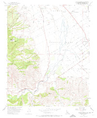
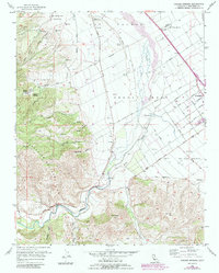
Editions of this 1956 Paraiso Springs Map
3 editions found
Other maps of this area

1910 · Soledad
USGS Topo · 1:31,680

1912 · Metz
USGS Topo · 1:31,680

1915 · Soledad
USGS Topo · 1:62,500

1919 · King City
USGS Topo · 1:62,500

1919 · Junipero Serra
USGS Topo · 1:62,500

1921 · Metz
USGS Topo · 1:62,500

1939 · King City
USGS Topo · 1:62,500

1940 · Metz
USGS Topo · 1:62,500

1940 · Soledad
USGS Topo · 1:62,500

1941 · Junipero Serra
USGS Topo · 1:62,500