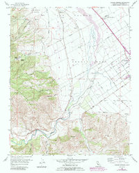
1956 Map of Paraiso Springs
USGS Topo · Published 1984About this map
Mission Soledad and its associated lands, including the Ex Mission Soledad and the Vineyard Of Mission Soledad, anchor the northern landscape of this mid-century Monterey County study. The terrain transitions from the alluvial plains of the Salinas R into the steep, deeply incised canyons of the Sierra Salinas, where landmarks like Pettits Peak overlook the winding courses of Reliz Creek and Arroyo Seco.
Find a feature on this map
47 named features on this map. Tap any name to fly to it.
Don’t see what you’re looking for? This feature index may not catch every label — zoom into the map to look around manually.
Map Details
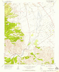
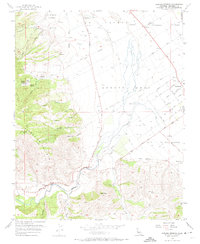
Editions of this 1956 Paraiso Springs Map
3 editions found
Other maps of this area

1910 · Soledad
USGS Topo · 1:31,680

1912 · Metz
USGS Topo · 1:31,680

1915 · Soledad
USGS Topo · 1:62,500

1919 · King City
USGS Topo · 1:62,500

1919 · Junipero Serra
USGS Topo · 1:62,500

1921 · Metz
USGS Topo · 1:62,500

1939 · King City
USGS Topo · 1:62,500

1940 · Metz
USGS Topo · 1:62,500

1940 · Soledad
USGS Topo · 1:62,500

1941 · Junipero Serra
USGS Topo · 1:62,500