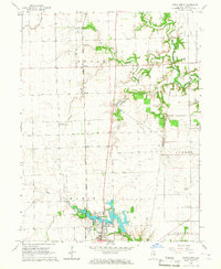
1966 Map of Paris North
USGS Topo · Published 1967About this map
The northern reaches of Paris anchor this mid-1960s landscape, where the urban grid gives way to the agricultural expanses of Edgar County. The town's northern edge is defined by Twin Lakes and several community institutions, including St Marys Ch and Camp Blackhawk. Just outside the city limits, social and recreational life is evidenced by the Drive-in Theater and the local Fairground, illustrating the typical mid-century development pattern of services moving toward the periphery.
Find a feature on this map
30 named features on this map. Tap any name to fly to it.
Don’t see what you’re looking for? This feature index may not catch every label — zoom into the map to look around manually.
Map Details
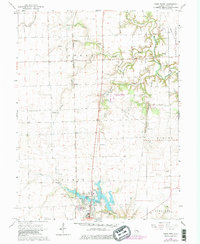
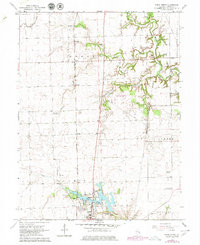
Editions of this 1966 Paris North Map
3 editions found
Other maps of this area

1946 · Kansas
USGS Topo · 1:62,500

1947 · Ridge Farm
USGS Topo · 1:62,500

1947 · Paris
USGS Topo · 1:62,500

1949 · Kansas
USGS Topo · 1:62,500

1949 · Paris
USGS Topo · 1:62,500

1950 · Sandford
USGS Topo · 1:24,000

1951 · Saint Bernice
USGS Topo · 1:24,000

1953 · Indianapolis
USGS Topo · 1:250,000

1955 · Scottland
USGS Topo · 1:24,000

1956 · Indianapolis
USGS Topo · 1:250,000