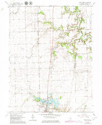
1966 Map of Paris North
USGS Topo · Published 1979About this map
The New York Central railroad corridor cuts a straight path through the heart of northern Paris, anchoring the landscape of this Illinois prairie region during the mid-1960s. The northern outskirts of the city are defined by the sprawling Twin Lakes and Sugar Creek, where recreational and community sites like Camp Blackhawk and the Paris Memorial Gardens meet the expanding urban edge. Of particular interest to local historians is the Old Indian Treaty Boundary, which slants across the eastern portion of the map, marking an early division of the land that predates the modern township grid. To the north, small agricultural hubs like Horace and Wetzel sit amidst a network of rural landmarks, including the Pine Grove Community Center and numerous family cemeteries such as Franklin Cem and Conkey Cem. Recent developments of the era, including the Edgar County Airport and a Drive-in Theater, reflect the mid-century growth of Edgar County.
Find a feature on this map
31 named features on this map. Tap any name to fly to it.
Don’t see what you’re looking for? This feature index may not catch every label — zoom into the map to look around manually.
Map Details
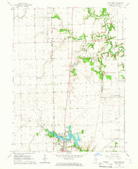
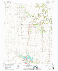
Editions of this 1966 Paris North Map
3 editions found
Other maps of this area

1946 · Kansas
USGS Topo · 1:62,500

1947 · Ridge Farm
USGS Topo · 1:62,500

1947 · Paris
USGS Topo · 1:62,500

1949 · Kansas
USGS Topo · 1:62,500

1949 · Paris
USGS Topo · 1:62,500

1950 · Sandford
USGS Topo · 1:24,000

1951 · Saint Bernice
USGS Topo · 1:24,000

1953 · Indianapolis
USGS Topo · 1:250,000

1955 · Scottland
USGS Topo · 1:24,000

1956 · Indianapolis
USGS Topo · 1:250,000