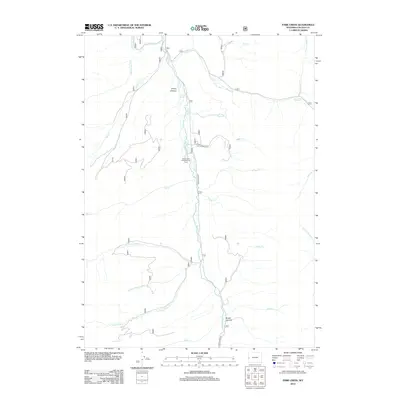
2012 Map of Park Creek
USGS Topo · Published 2012About this map
The Greys River corridor defines this portion of Lincoln County, serving as the primary geographic and transit artery through the wilderness. In this 2012 study, Greys River Rd follows the water closely, providing access to secluded sites such as the Forest Park Campground and the Forest Park Elk Wintering Area. The drainage network is particularly dense here, with numerous named tributaries like N Three Forks Cr and Middle Three Forks Cr feeding into the main river from the surrounding high country. Significant landmarks like Young Spring and the carved terrain of Young Canyon and Broad Canyon indicate a landscape dominated by hydrological features and seasonal wildlife habitats, highlighting the area's importance for conservation and outdoor recreation in the early 21st century.
Find a feature on this map
28 named features on this map. Tap any name to fly to it.
Don’t see what you’re looking for? This feature index may not catch every label — zoom into the map to look around manually.
Map Details
Editions of this 2012 Park Creek Map
This is the sole edition of this map. No revisions or reprints were ever made.
Other maps of this area

1921 · Afton
USGS Topo · 1:125,000

1955 · Preston
USGS Topo · 1:250,000

1958 · Preston
USGS Topo · 1:250,000

1962 · Preston
USGS Topo · 1:250,000
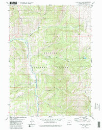
1980 · Blind Bull Creek
USGS Topo · 1:24,000
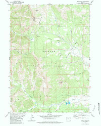
1980 · Triple Peak
USGS Topo · 1:24,000
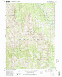
1980 · Man Peak
USGS Topo · 1:24,000
1980 · Mount Schidler
USGS Topo · 1:24,000
1980 · Box Canyon Creek
USGS Topo · 1:24,000
1980 · Red Top Mountain
USGS Topo · 1:24,000