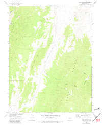
1968 Map of Park Mountain
USGS Topo · Published 1982About this map
Park Mountain dominates the southern reaches of this high-desert landscape in Nye County, where the topography transition between the Antelope Range and the Park Range. Mapped in cooperation with the Atomic Energy Commission during the late 1960s, the terrain is defined by dramatic elevation changes, from the heights of Moonshine Peak down to the drainage of Big Wash. A notable geological feature, the Big Wash Fault, runs north-to-south through the center of the sheet, illustrating the active tectonic history of the region.
Find a feature on this map
16 named features on this map. Tap any name to fly to it.
Don’t see what you’re looking for? This feature index may not catch every label — zoom into the map to look around manually.
Map Details
Editions of this 1968 Park Mountain Map
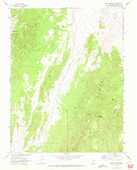
2 editions found
Other maps of this area

1926 · Roberts Mountains
USGS Topo · 1:250,000

1929 · Roberts Mountains
USGS Topo · 1:250,000

1955 · Millett
USGS Topo · 1:250,000

1956 · Cockalorum Wash
USGS Topo · 1:62,500

1956 · Horse Heaven Mtn
USGS Topo · 1:62,500

1956 · Tonopah
USGS Topo · 1:250,000

1959 · Tonopah
USGS Topo · 1:250,000

1959 · Millett
USGS Topo · 1:250,000

1962 · Tonopah
USGS Topo · 1:250,000

1968 · Pritchards Station
USGS Topo · 1:62,500