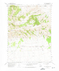
1959 Map of Park Valley
USGS Topo · Published 1975About this map
Raft River Mountains dominate this high-altitude landscape along the border of Utah and Idaho, offering a window into the remote ranching and forest management practices of the late 1950s. The settlement of Park Valley sits at the base of the range, connected by a string of survey benchmarks to the nearby community of Rosette. To the north, the terrain climbs sharply into the Sawtooth National Forest, where the Onemile Guard Sta and The Meadows mark points of human activity amidst a complex network of canyons like Sawmill Canyon and Duncan Canyon. The map reveals a land defined by its water sources, from the isolated Bull Lake and Fisher Lake to numerous named springs such as Dipping Vat Spring and Docken Corral Spring. These features, alongside scattered prospect markings and the Park Valley Cemetery, document the survival and industry of small settlements in the Great Basin's rugged high-desert country.
Find a feature on this map
75 named features on this map. Tap any name to fly to it.
Don’t see what you’re looking for? This feature index may not catch every label — zoom into the map to look around manually.
Map Details
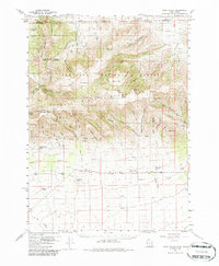
Editions of this 1959 Park Valley Map
3 editions found
Other maps of this area

1954 · Pocatello
USGS Topo · 1:250,000

1954 · Brigham City
USGS Topo · 1:250,000

1958 · Pocatello
USGS Topo · 1:250,000

1958 · Brigham City
USGS Topo · 1:250,000

1959 · Strevell
USGS Topo · 1:62,500

1959 · Kelton Pass
USGS Topo · 1:62,500

1959 · Park Valley
USGS Topo · 1:62,500

1959 · Yost
USGS Topo · 1:62,500

1962 · Brigham City
USGS Topo · 1:250,000

1968 · Jim Sage Canyon
USGS Topo · 1:24,000