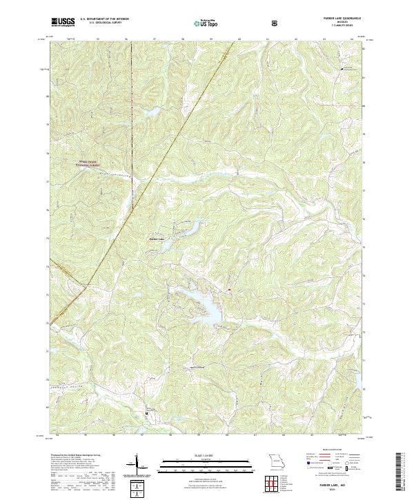
2021 Map of Parker Lake
USGS Topo · Published 2021About this map
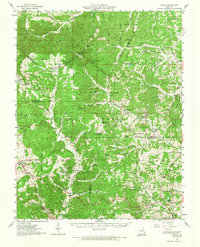
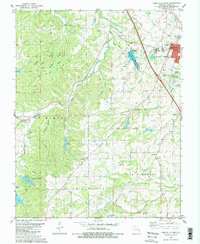
The Mark Twain National Forest dominates the northwestern terrain of this quadrangle, where the steep relief of Anderson Hollow gives way to a complex system of creeks and drainage basins. This modern 2021 survey reveals a landscape defined by significant water management and residential development surrounding Lake Perry and Parker Lake. These reservoirs, including Parker Lake Number 2 and the smaller Whitewood Lake, indicate the transition of the area from traditional rural Missouri Ozark timberland into a recreational and residential corridor.
Find a feature on this map
68 named features on this map. Tap any name to fly to it.
Don’t see what you’re looking for? This feature index may not catch every label — zoom into the map to look around manually.
Map Details
Editions of this 2021 Parker Lake Map
This is the sole edition of this map. No revisions or reprints were ever made.
Historical Maps of Parker Lake Through Time
16 maps found
1910 Higdon
Perry County, MO
1947 Crosstown
Perry County, MO
1948 Crosstown
Perry County, MO
1959 Higdon
Perry County, MO
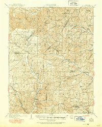
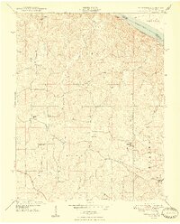
1959 Parker Lake
Perry County, MO
1970 Belgique
Perry County, MO
1980 Perryville East
Perry County, MO
1980 Perryville West
Perry County, MO
1993 Belgique
Perry County, MO
1993 Crosstown
Perry County, MO
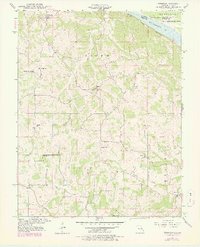
2000 Parker Lake
Perry County, MO
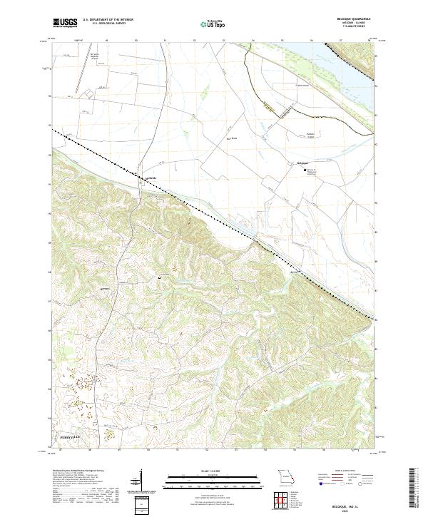
2021 Belgique
Perry County, MO
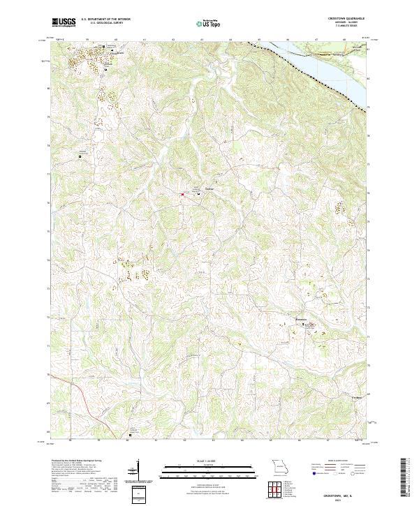
2021 Crosstown
Perry County, MO
2021 Parker Lake
Perry County, MO
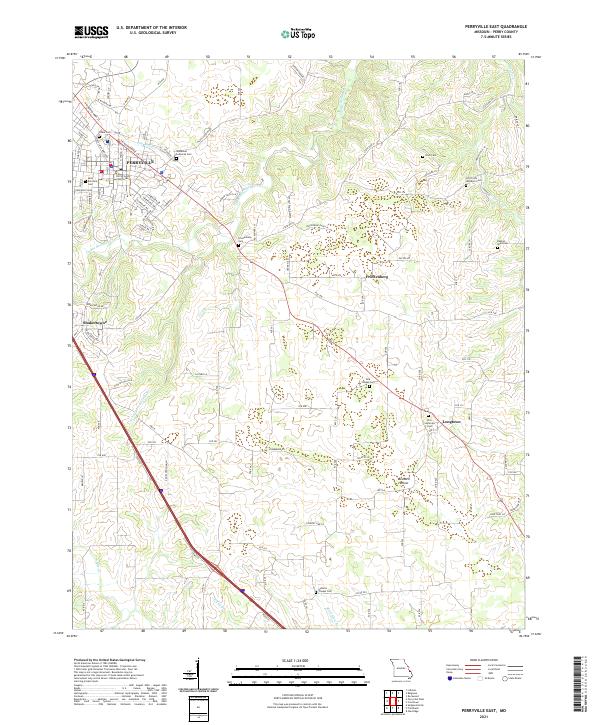
2021 Perryville East
Perry County, MO
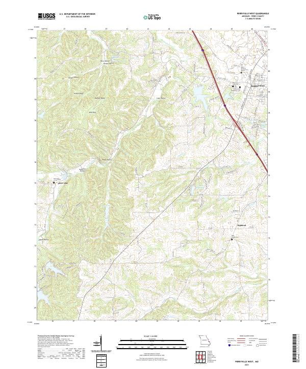
2021 Perryville West
Perry County, MO