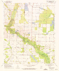
1969 Map of Parkers Corner
USGS Topo · Published 1971About this map
The agricultural landscape of the Grand Prairie is defined here by an intricate system of water management, where numerous reservoirs and irrigation channels support the region's farming heritage. Meandering through the center of the sheet, Two Prairie Bayou and Long Bayou provide a natural drainage network, while man-made features like the Blue Point Ditch and various Fish Ponds highlight the area's intensive land use during the late 1960s.
Find a feature on this map
32 named features on this map. Tap any name to fly to it.
Don’t see what you’re looking for? This feature index may not catch every label — zoom into the map to look around manually.
Map Details
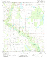
Editions of this 1969 Parkers Corner Map
2 editions found
Other maps of this area

1935 · Hazen
USGS Topo · 1:62,500

1937 · Stuttgart
USGS Topo · 1:62,500

1937 · England
USGS Topo · 1:48,000

1939 · Stuttgart
USGS Topo · 1:62,500

1940 · Lonoke
USGS Topo · 1:62,500

1941 · Hazen
USGS Topo · 1:62,500

1943 · England
USGS Topo · 1:62,500

1948 · Helena
USGS Topo · 1:250,000

1949 · Lonoke
USGS Topo · 1:62,500

1950 · Helena
USGS Topo · 1:250,000