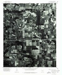
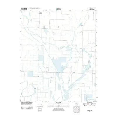
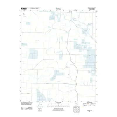
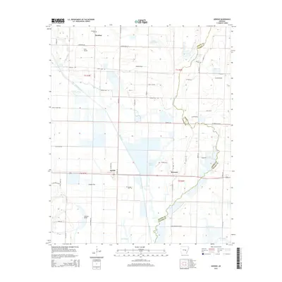
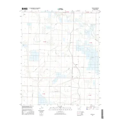
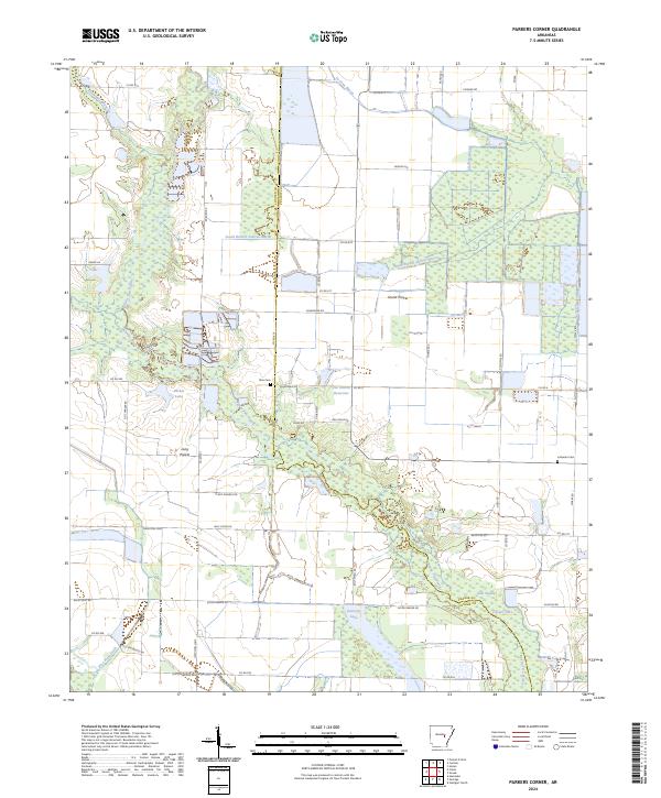
1969 Map of Parkers Corner
USGS Topo · Published 1988About this map
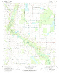
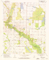
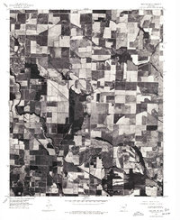
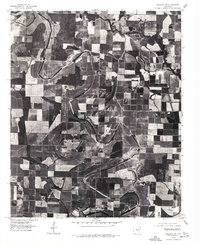
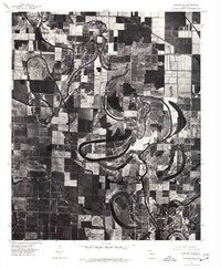
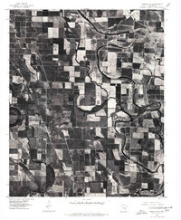
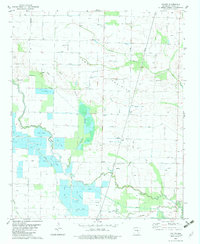
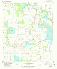
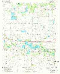
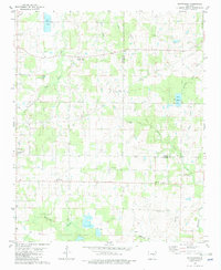
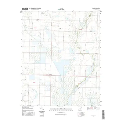
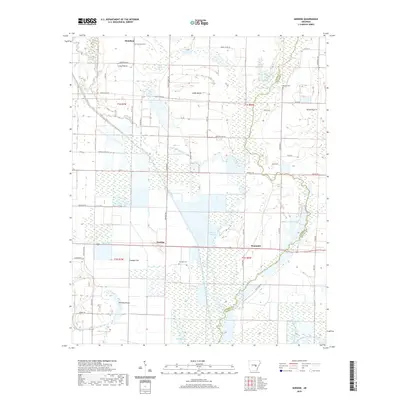
Two Prairie Bayou winds through the heart of this East Arkansas landscape, defining the transition between the agricultural expanses of Grand Prairie and the wooded lowlands. In the late 1960s, the area around Parkers Corner shows a complex system of water management, evidenced by numerous Reservoirs and Reservoir catchments designed to support the region's rice-growing heritage. The map records several small lakes such as Jarvis Lake, Tyler Lake, and Cooper Lake, which punctuate the drainage basins of Shumaker Branch and Skinners Branch. For genealogists, the map preserves the locations of vital community landmarks, including Zion Cem, Ray Cem, and Lutheran Cem, scattered across the townships of Carlisle, Hamilton, and Tyler. These features provide a look at the rural social geography of the Lonoke and Prairie County border before modern industrial farming further consolidated the land.
Find a feature on this map
22 named features on this map. Tap any name to fly to it.
Don’t see what you’re looking for? This feature index may not catch every label — zoom into the map to look around manually.
Map Details
Editions of this 1969 Parkers Corner Map
2 editions found
Historical Maps of Parkers Corner Through Time
55 maps found
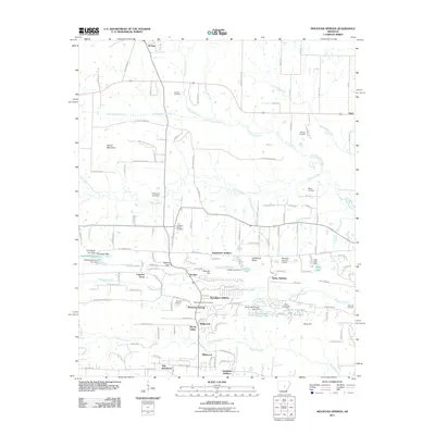
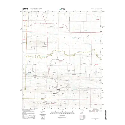
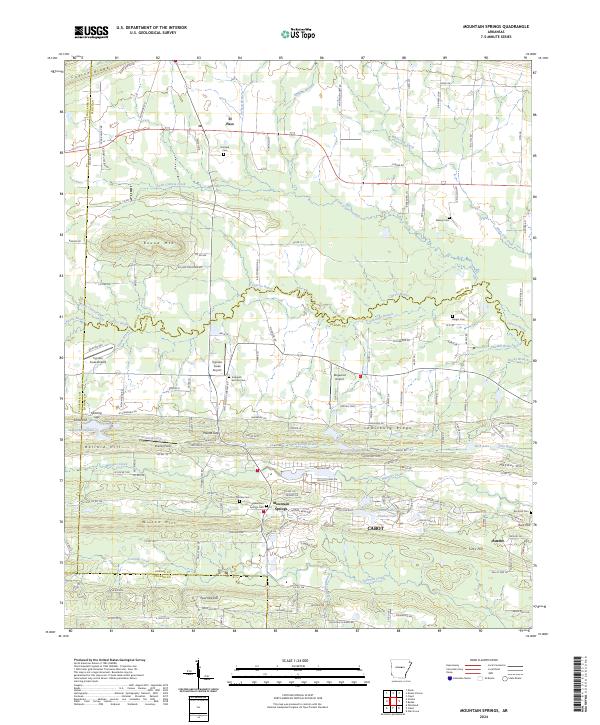
1963 Mountain Springs
Lonoke County, AR
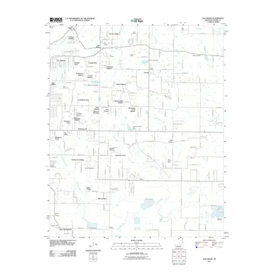
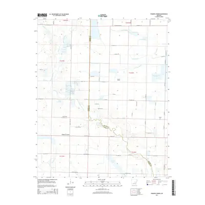
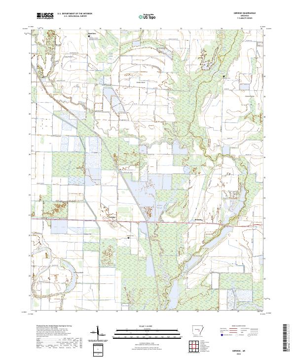
1969 Geridge
Lonoke County, AR
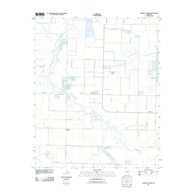
1969 Parkers Corner
Lonoke County, AR
1975 England NE
Lonoke County, AR
1975 England NW
Lonoke County, AR
1975 England SE
Lonoke County, AR
1975 England SW
Lonoke County, AR
1975 Lonoke SW
Lonoke County, AR
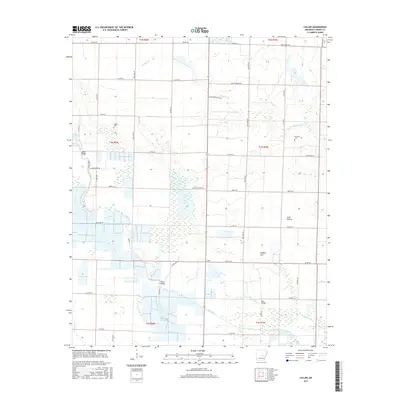
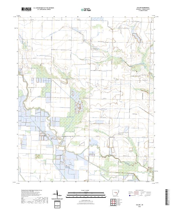
1982 Culler
Lonoke County, AR

1982 Oak Grove
Lonoke County, AR
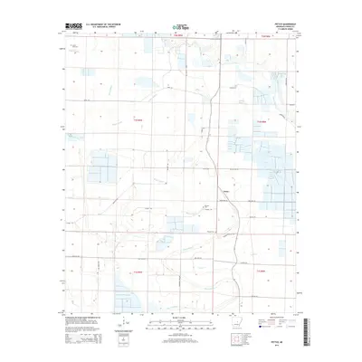
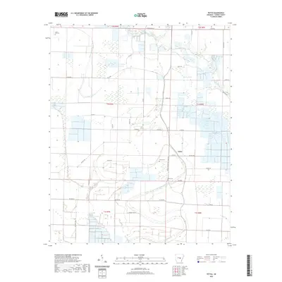
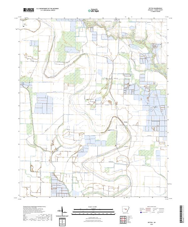
1982 Pettus
Lonoke County, AR
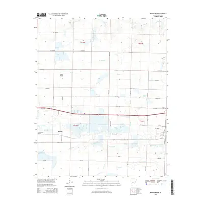
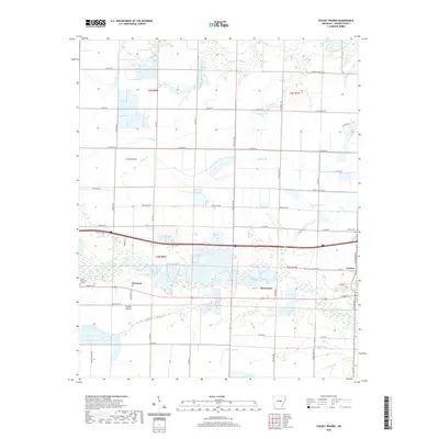
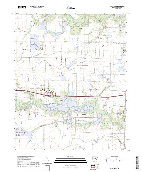
1982 Pocket Prairie
Lonoke County, AR
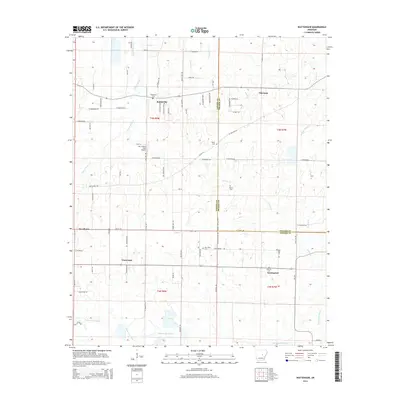
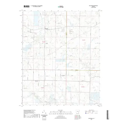
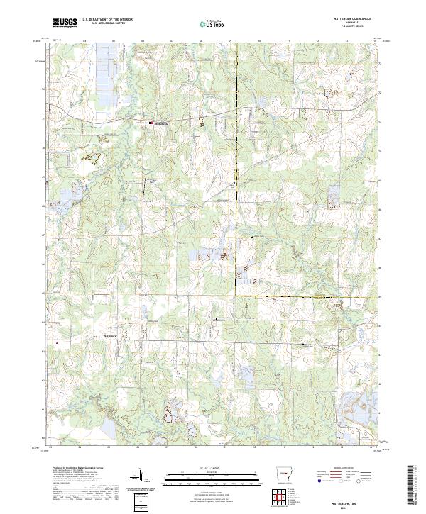
1982 Wattensaw
Lonoke County, AR
1994 Mountain Springs
Lonoke County, AR
1994 Parkers Corner
Lonoke County, AR
2011 Culler
Lonoke County, AR
2011 Geridge
Lonoke County, AR
2011 Mountain Springs
Lonoke County, AR
2011 Oak Grove
Lonoke County, AR
2011 Parkers Corner
Lonoke County, AR
2011 Pettus
Lonoke County, AR
2011 Pocket Prairie
Lonoke County, AR
2011 Wattensaw
Lonoke County, AR
2014 Culler
Lonoke County, AR
2014 Geridge
Lonoke County, AR
2014 Mountain Springs
Lonoke County, AR
2014 Oak Grove
Lonoke County, AR
2014 Parkers Corner
Lonoke County, AR
2014 Pettus
Lonoke County, AR
2014 Pocket Prairie
Lonoke County, AR
2014 Wattensaw
Lonoke County, AR
2017 Culler
Lonoke County, AR
2017 Geridge
Lonoke County, AR
2017 Mountain Springs
Lonoke County, AR
2017 Oak Grove
Lonoke County, AR
2017 Parkers Corner
Lonoke County, AR
2017 Pettus
Lonoke County, AR
2017 Pocket Prairie
Lonoke County, AR
2017 Wattensaw
Lonoke County, AR
2020 Culler
Lonoke County, AR
2020 Geridge
Lonoke County, AR
2020 Mountain Springs
Lonoke County, AR
2020 Oak Grove
Lonoke County, AR
2020 Parkers Corner
Lonoke County, AR
2020 Pettus
Lonoke County, AR
2020 Pocket Prairie
Lonoke County, AR
2020 Wattensaw
Lonoke County, AR
2024 Culler
Lonoke County, AR
2024 Geridge
Lonoke County, AR
2024 Mountain Springs
Lonoke County, AR

2024 Oak Grove
Lonoke County, AR
2024 Parkers Corner
Lonoke County, AR
2024 Pettus
Lonoke County, AR
2024 Pocket Prairie
Lonoke County, AR
2024 Wattensaw
Lonoke County, AR