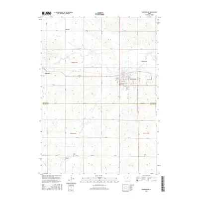
2015 Map of Parkersburg
USGS Topo · Published 2015About this map
Parkersburg sits at the heart of this landscape, positioned north of the Butler County and Grundy County line. The town's grid is well-defined by local landmarks like Saint Patricks Catholic Cem and the Parker Burial Grounds. To the west, the community of Aplington is situated along the same Railroad St corridor that links these prairie settlements. The surrounding terrain is shaped by the winding paths of Beaver Creek and Johnson Creek, which cut through the agricultural sections of the Iowa countryside.
Find a feature on this map
62 named features on this map. Tap any name to fly to it.
Don’t see what you’re looking for? This feature index may not catch every label — zoom into the map to look around manually.
Map Details
Editions of this 2015 Parkersburg Map
This is the sole edition of this map. No revisions or reprints were ever made.
Other maps of this area

1954 · Waterloo
USGS Topo · 1:250,000

1955 · Waterloo
USGS Topo · 1:250,000

1971 · Dike
USGS Topo · 1:24,000

1971 · Coster
USGS Topo · 1:24,000

1971 · Stout
USGS Topo · 1:24,000

1979 · Holland
USGS Topo · 1:24,000

1979 · Dumont South
USGS Topo · 1:24,000

1979 · Butler Center
USGS Topo · 1:24,000

1980 · Aplington
USGS Topo · 1:24,000

1980 · Wellsburg
USGS Topo · 1:24,000