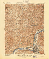
1904 Map of Parkersburg
USGS Topo · Published 1944About this map
Parkersburg and Belpre anchor this 1902 survey of the Mid-Ohio Valley, a region defined by the convergence of the Ohio River, the Little Kanawha River, and the Muskingum River. The river landscape is dominated by the large Blennerhassett Island and a network of ferries and river-adjacent settlements like Constitution and Gravelbank. Inland, the topography rises into the dissected plateaus of Washington and Wood counties, where small agricultural and milling centers such as Browns Mill and Watertown are connected by the winding tracks of the Baltimore and Ohio R. R.. The map reveals a high density of rural communities, including Churchtown, Veto, and Tick Ridge, reflecting the early 20th-century reliance on localized trade and rail transport before the dominance of modern highways. This detailed study captures the industrial and maritime character of the riverfront just as towns like Vienna and Beechwood were beginning to expand.
Find a feature on this map
78 named features on this map. Tap any name to fly to it.
Don’t see what you’re looking for? This feature index may not catch every label — zoom into the map to look around manually.
Map Details
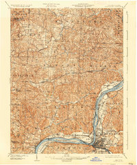
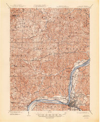
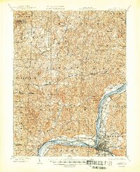
Editions of this 1904 Parkersburg Map
5 editions found
Other maps of this area

1902 · Parkersburg
USGS Topo · 1:62,500

1903 · Macksburg
USGS Topo · 1:62,500

1904 · Parkersburg
USGS Topo · 1:62,500

1904 · Marietta
USGS Topo · 1:62,500

1904 · Chesterhill
USGS Topo · 1:62,500

1905 · Macksburg
USGS Topo · 1:62,500

1906 · Elizabeth
USGS Topo · 1:62,500

1906 · Belleville
USGS Topo · 1:62,500

1906 · Chesterhill
USGS Topo · 1:62,500

1907 · Keno
USGS Topo · 1:62,500