
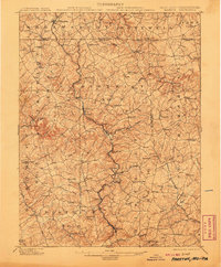
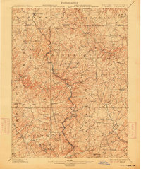
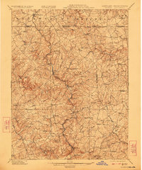
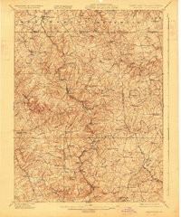
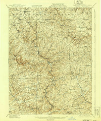
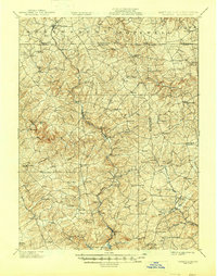
1902 Map of Parkton
USGS Topo · Published 1902About this map
The Maryland Line marks the center of this detailed border survey, where the rolling hills of northern Baltimore County meet southern York County. At the dawn of the twentieth century, the Northern Central R.R. dictates the rhythm of the region, following the winding course of Little Falls through industrial and rail stops like Parkton and Whitehall. To the east, the Stewartstown R.R. branches toward Stewartstown in Pennsylvania, connecting the agricultural hinterlands to larger markets. The map reveals an intricate network of local waterways that powered early industry, including the First Mine Branch and Second Mine Branch. Notable historic thoroughfares like the Old York Road and Belair Turnpike crisscross the landscape, linking established milling communities like Gorsuchs Mills and Gemmills with smaller settlements such as Five Forks and Stablersville.
Find a feature on this map
107 named features on this map. Tap any name to fly to it.
Don’t see what you’re looking for? This feature index may not catch every label — zoom into the map to look around manually.
Map Details
Editions of this 1902 Parkton Map
7 editions found
Other maps of this area

1892 · Ellicott
USGS Topo · 1:62,500

1893 · Gunpowder
USGS Topo · 1:62,500

1894 · Ellicott
USGS Topo · 1:62,500

1894 · Baltimore
USGS Topo · 1:62,500

1898 · Tolchester
USGS Topo · 1:125,000

1899 · Baltimore
USGS Topo · 1:62,500

1900 · Parkton
USGS Topo · 1:62,500

1901 · Belair
USGS Topo · 1:62,500

1901 · Gunpowder
USGS Topo · 1:62,500

1903 · Tolchester
USGS Topo · 1:125,000