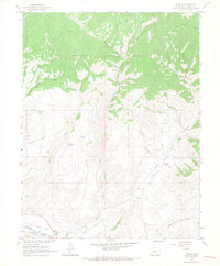
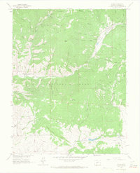
1964 Map of Parlin
USGS Topo · Published 1967About this map
Parlin serves as the focal point for this mid-century survey of the high-country landscape where Tomichi Creek and Quartz Creek converge. The area's extraction history is visible in the various mining operations scattered across the eastern slopes, most notably the Brown Derby Mine and Willow Creek Mine. These sites sit alongside several unnamed prospects, indicating a region once heavily prospected for its mineral wealth. A remnant of earlier transportation infrastructure, the Old Railroad Grade, follows the southern contours of the terrain, providing a clear path for genealogists and industrial historians to trace the old logistics of the Gunnison National Forest foothills.
Find a feature on this map
40 named features on this map. Tap any name to fly to it.
Don’t see what you’re looking for? This feature index may not catch every label — zoom into the map to look around manually.
Map Details
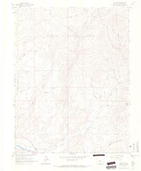
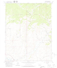
Editions of this 1964 Parlin Map
3 editions found
Other maps of this area

1941 · Pitkin
USGS Topo · 1:62,500

1945 · Pitkin
USGS Topo · 1:62,500

1956 · Montrose
USGS Topo · 1:250,000

1959 · Montrose
USGS Topo · 1:250,000

1960 · Montrose
USGS Topo · 1:250,000

1962 · Doyleville
USGS Topo · 1:24,000

1962 · Iris
USGS Topo · 1:24,000

1962 · Houston Gulch
USGS Topo · 1:24,000
1964 · Signal Peak
USGS Topo · 1:24,000
1964 · Pitkin
USGS Topo · 1:24,000