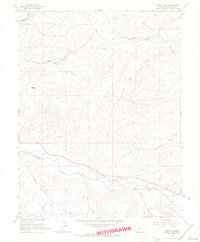
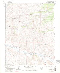
1964 Map of Signal Peak
USGS Topo · Published 1967About this map
Tomichi Creek and its southern tributaries dominate this mid-1960s landscape, illustrating a transition between the valley floor and the high timber of the Gunnison National Forest. The presence of an Old Railroad Grade running parallel to the creek identifies the historical transport corridor that once connected these high-country settlements. Further north, the terrain rises toward Signal Peak, a prominent landmark overlooking a network of deep drainages such as Lost Canyon and Sheep Gulch. Scattered prospects and gravel pits throughout the quadrangle speak to the region's mining and mineral history, while family-named features like Biebel Springs and Sewell Gulch provide important markers for local genealogists and researchers tracing early land use in the area east of Gunnison.
Find a feature on this map
25 named features on this map. Tap any name to fly to it.
Don’t see what you’re looking for? This feature index may not catch every label — zoom into the map to look around manually.
Map Details
Editions of this 1964 Signal Peak Map
5 editions found
Other maps of this area

1941 · Pitkin
USGS Topo · 1:62,500

1945 · Pitkin
USGS Topo · 1:62,500

1954 · Iris NW
USGS Topo · 1:24,000

1954 · Gunnison
USGS Topo · 1:24,000

1956 · Montrose
USGS Topo · 1:250,000

1959 · Montrose
USGS Topo · 1:250,000

1960 · Montrose
USGS Topo · 1:250,000

1962 · Iris
USGS Topo · 1:24,000

1962 · Houston Gulch
USGS Topo · 1:24,000
1964 · Flat Top
USGS Topo · 1:24,000