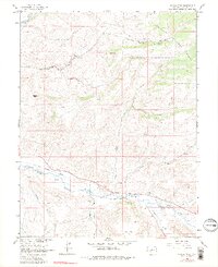
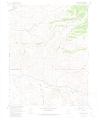
1964 Map of Signal Peak
USGS Topo · Published 1981About this map
Tomichi Creek winds through the southern reaches of this landscape, its path shadowed by the visible path of an Old Railroad Grade. This transport corridor represents a historic passage through the Gunnison area, once facilitating the movement of goods and people before the tracks were removed. To the north, the terrain rises sharply toward Signal Peak and the southern edge of the Gunnison National Forest, where a network of drainages including Sheep Canyon and Lost Canyon carve through the high ground.
Find a feature on this map
19 named features on this map. Tap any name to fly to it.
Don’t see what you’re looking for? This feature index may not catch every label — zoom into the map to look around manually.
Map Details
Editions of this 1964 Signal Peak Map
5 editions found
Other maps of this area

1941 · Pitkin
USGS Topo · 1:62,500

1945 · Pitkin
USGS Topo · 1:62,500

1954 · Iris NW
USGS Topo · 1:24,000

1954 · Gunnison
USGS Topo · 1:24,000

1956 · Montrose
USGS Topo · 1:250,000

1959 · Montrose
USGS Topo · 1:250,000

1960 · Montrose
USGS Topo · 1:250,000

1962 · Iris
USGS Topo · 1:24,000

1962 · Houston Gulch
USGS Topo · 1:24,000
1964 · Flat Top
USGS Topo · 1:24,000