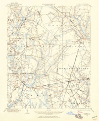
1902 Map of Parmele
USGS Topo · Published 1959About this map
Robersonville and Bethel anchor the rail-driven landscape of the Inner Coastal Plain at the turn of the century. The map reveals a complex network of trackage where the Atlantic Coast Line intersects various routes, including the Kinston Branch and the Plymouth Branch at the junction of Parmele. This rail infrastructure supported a local economy transitioning through the post-Civil War era, evidenced by the numerous small settlements like Speed, Oak City, and Conetoe that grew along these corridors.
Find a feature on this map
40 named features on this map. Tap any name to fly to it.
Don’t see what you’re looking for? This feature index may not catch every label — zoom into the map to look around manually.
Map Details
Editions of this 1902 Parmele Map
This is the sole edition of this map. No revisions or reprints were ever made.
Other maps of this area
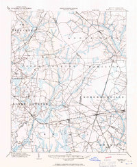
1901 · Parmele
USGS Topo · 1:62,500
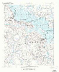
1901 · Williamston
USGS Topo · 1:62,500
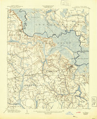
1902 · Williamston
USGS Topo · 1:62,500
1902 · Tarboro
USGS Topo · 1:62,500
1903 · Tarboro
USGS Topo · 1:62,500
1903 · Winterville
USGS Topo · 1:62,500
1903 · Chocowinity
USGS Topo · 1:62,500
1904 · Falkland
USGS Topo · 1:62,500
1905 · Chocowinity
USGS Topo · 1:62,500
1905 · Winterville
USGS Topo · 1:62,500