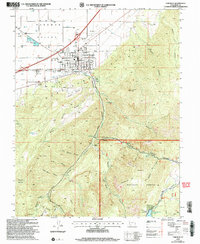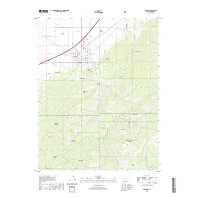
1971 Map of Parowan
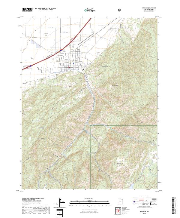
USGS Topo · Published 1992About this map
Parowan sits at the edge of the Parowan Valley, where the agricultural floor meets the dramatic rise of the Hurricane Cliffs. The landscape transition is stark, moving from the grid of the city and its City Airport to the deeply incised canyons of the Dixie National Forest. Water management is central to the area's geography, visible through the Aqueduct carrying water from Parowan Creek and the infrastructure at The Forebay. Notable landmarks like the Vermillion Castle Guard Station and Vermillion Castle Campground highlight the intersection of early forest management and mountain recreation. To the south, high-elevation features like Yankee Meadows Reservoir and Braffit Ridge dominate the terrain, while curious local landmarks such as First Mound and P Hill overlook the valley. This 1971 survey captures the town as a vital hub for both valley ranching and forest access, connected by the winding path of the Second Left Hand Canyon.
Find a feature on this map
58 named features on this map. Tap any name to fly to it.
Don’t see what you’re looking for? This feature index may not catch every label — zoom into the map to look around manually.
Map Details
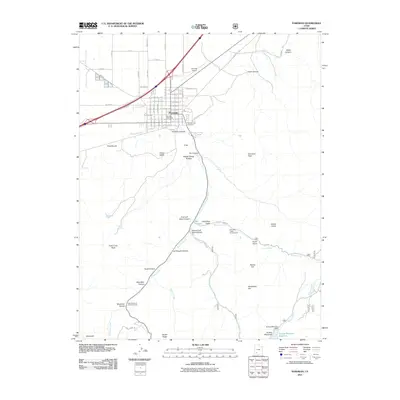
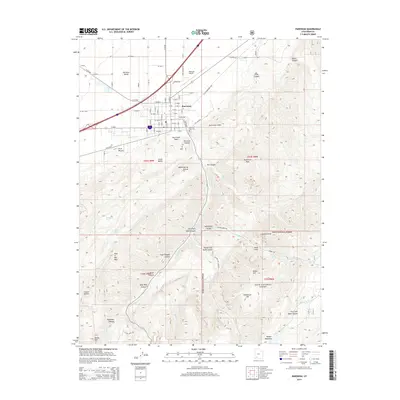
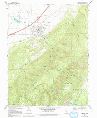
Editions of this 1971 Parowan Map
2 editions found
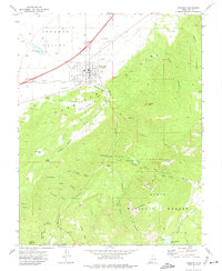
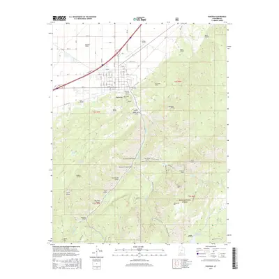
Historical Maps of Parowan Through Time
7 maps found