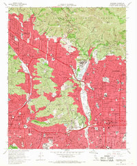
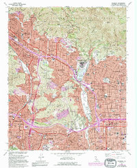
1966 Map of Pasadena
USGS Topo · Published 1968About this map
The Angeles National Forest dominates the northern landscape, where the Angelus Crest Highway winds through the canyons of the San Rafael Hills. This mid-century survey captures a period of intense post-war density across the San Gabriel Valley, showing the expanding corporate boundaries of Pasadena, Glendale, and Los Angeles. The urban fabric is clearly defined by emerging infrastructure like the Pasadena Freeway and the Ventura Freeway, yet it remains anchored by established institutions such as the California Institute of Technology and the Jet Propulsion Laboratory.
Find a feature on this map
58 named features on this map. Tap any name to fly to it.
Don’t see what you’re looking for? This feature index may not catch every label — zoom into the map to look around manually.
Map Details
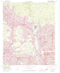
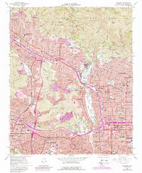
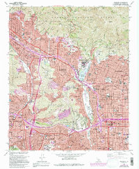
Editions of this 1966 Pasadena Map
5 editions found
Other maps of this area

1894 · Los Angeles
USGS Topo · 1:62,500

1896 · Pasadena
USGS Topo · 1:62,500

1896 · Santa Monica
USGS Topo · 1:62,500

1898 · Santa Monica
USGS Topo · 1:62,500

1900 · Pasadena
USGS Topo · 1:62,500

1900 · Tujunga
USGS Topo · 1:62,500

1900 · Los Angeles
USGS Topo · 1:62,500

1900 · Fernando
USGS Topo · 1:62,500

1901 · Southern California Sheet No. 1
USGS Topo · 1:250,000

1902 · Santa Monica
USGS Topo · 1:62,500